Bike Orlando
Over 40 Bike Trails, 300+ Miles
Ride Safe, Greater Orlando, Disney Area
Trail Maps & Photos Galore
You are here >
Home >
Orange County >
Little Econ Greenway
Latest update: February 2024
Little Econ Greenway... Florida
Scenic East Orlando Bike Trail
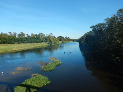
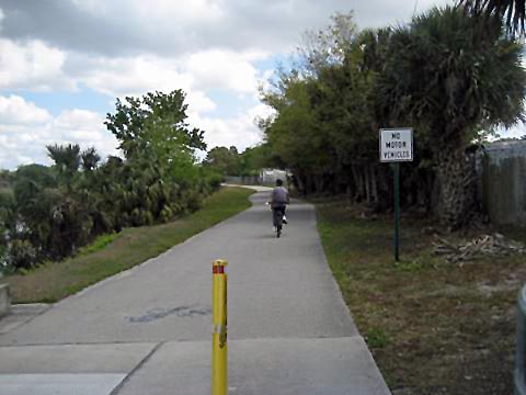
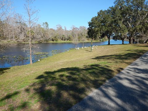
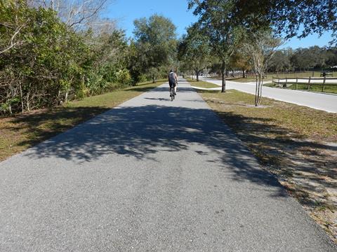
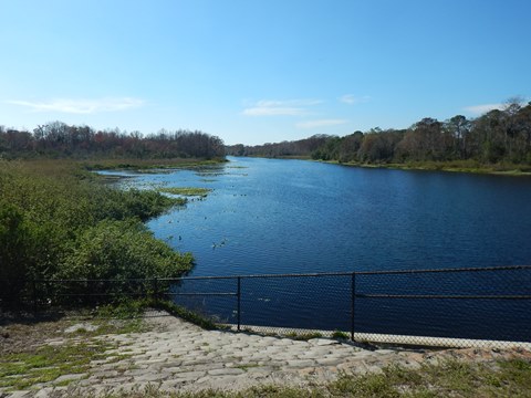
Popular with bikers, runners, and skaters, this 7.4-mile urban trail features a long section along the Little Econlockhatchee River ("Little Econ"). Though centrally located, this East Orlando bike trail offers scenic river views and wildlife viewing - wading birds, osprey, ibis, and red-tailed hawks, plus turtles and alligators can all be sighted here. The downside is almost no shade. Blanchard Park is the focal point, with many recreational and nature activities on its 87 acres. Future links planned to University of Central Florida, and to Cady Way and Cross Seminole Trails. (Detailed map and photos below.)
Location: Orange County (Orlando)
End points: Alafaya Trail to Forsyth Road
Mileage: 7.4 miles
Surface: Asphalt, 14'
Trailheads/Parking: SR 50 Trailhead, Arcadia Acres
Park, Econ Soccer Complexes, Harrell Road, N. Econlockhatchee Trail,
Blanchard Park (See map)
Nearby Points of Interest: University of Central Florida,
Blanchard Park, City of Orlando
Bike Shops / Rentals:
Biking the Little Econ Greenway... Comments and Photos
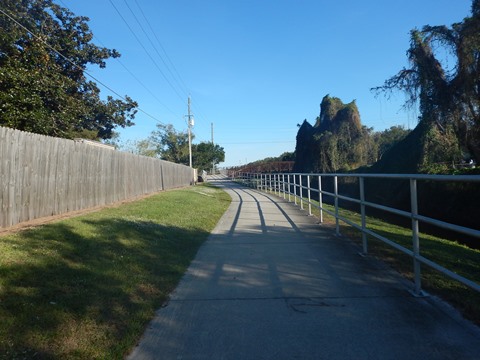
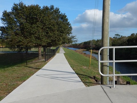
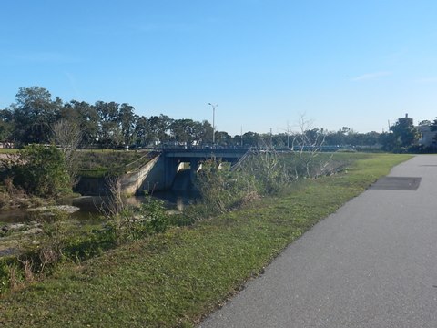
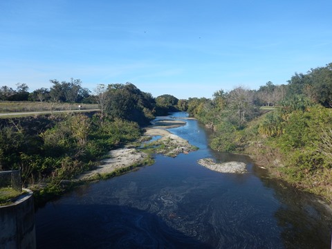
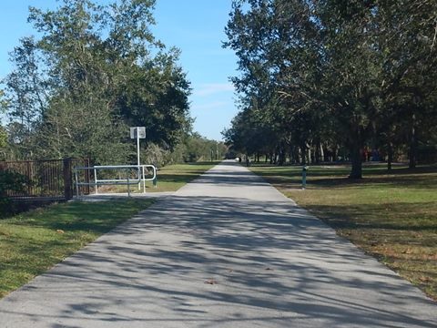
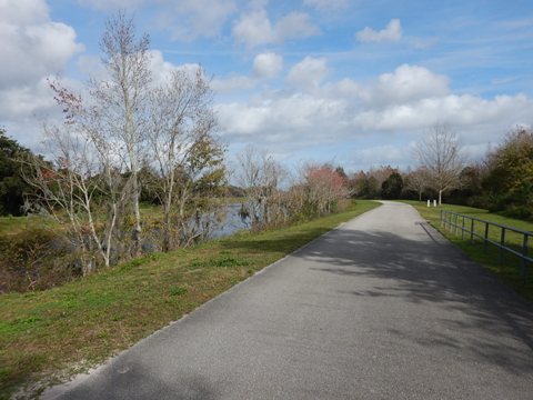
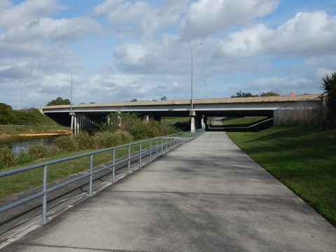
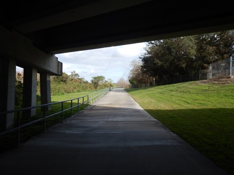
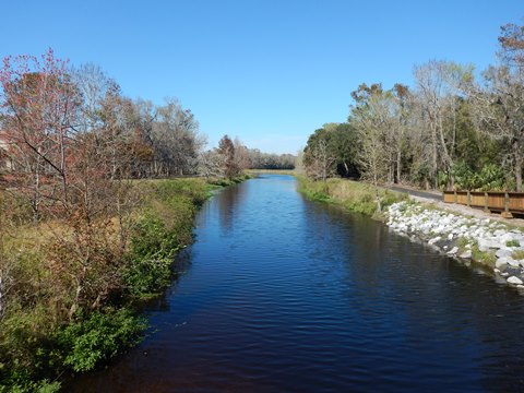
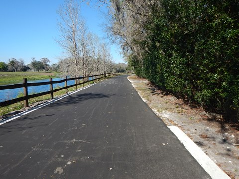
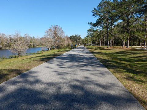
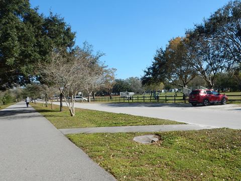
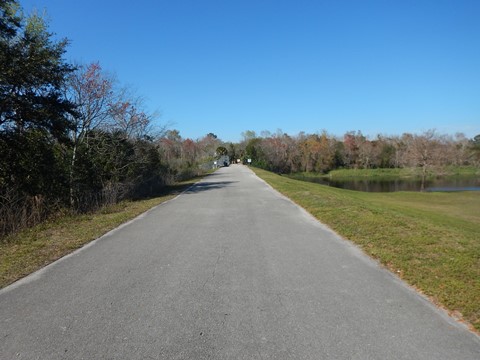
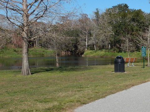
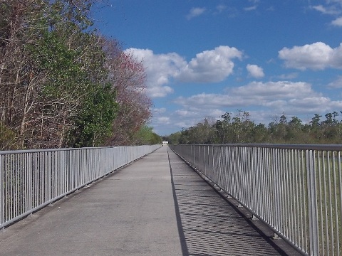
The central section of the Little Econ Greenway offers almost continuous water views (canal and river). Another positive is that in the center section, while the trail intersects several major roads, there are few road crossings, but rather underpasses - from Goldenrod to Rouse Roads is five miles with a single road crossing at Harrell Rd. One negative is very little shade. With waterways and underpasses, much of the trail east of Blanchard Park is the favorite for recreational bikers.
Here, we visit the Greenway, from West to East.
Trail Start to Arcadia Acres
Short, Future Link at Cady Way Trail
Few people are aware of this tiny section of the Little Econ Greenway, which runs 1/4 mile along Baldwin Park Street at the Cady Way Trail (link below) to SR 436 (Semoran Blvd.). Eventually, this short segment will link to the rest of the Greenway at Forsyth Road. A bike/pedestrian bridge across Semoran Blvd. is planned, but until then, follow the road (or sidewalk) route along SR 436, Hanging Moss Rd., and Forsyth Rd. to the Greenway.
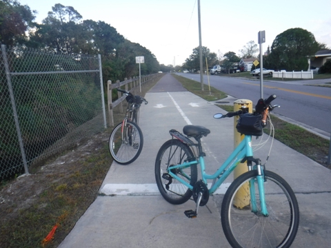
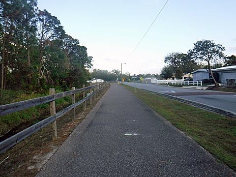
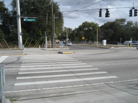
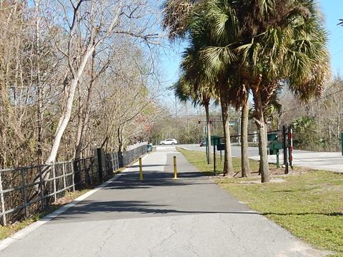
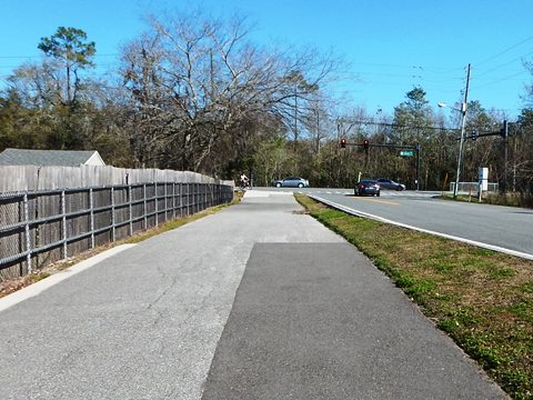
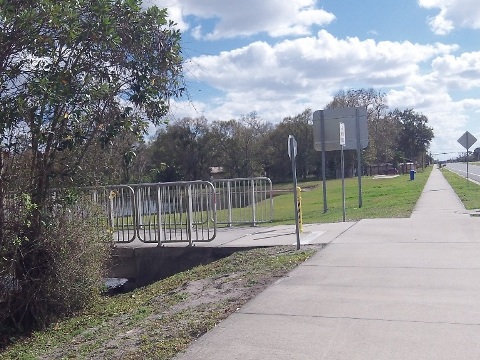
Forsyth Road to Goldenrod Road
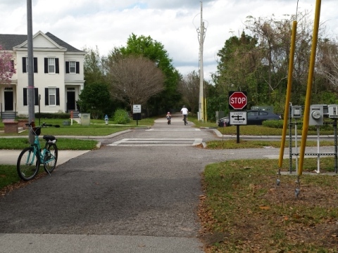
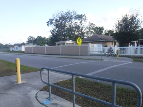
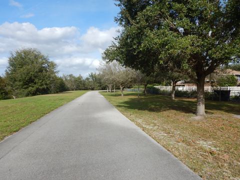
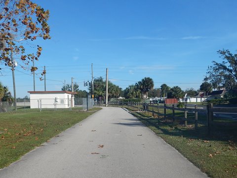
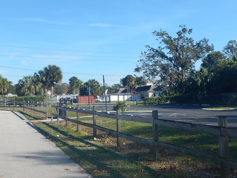
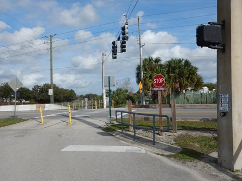
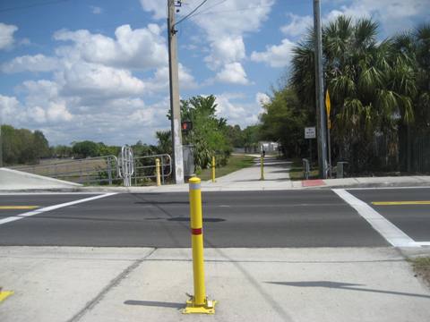
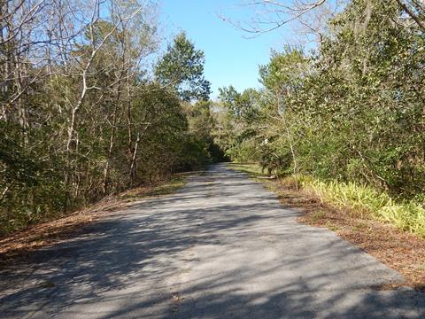
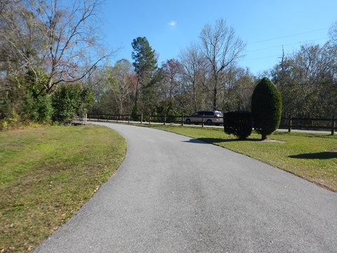
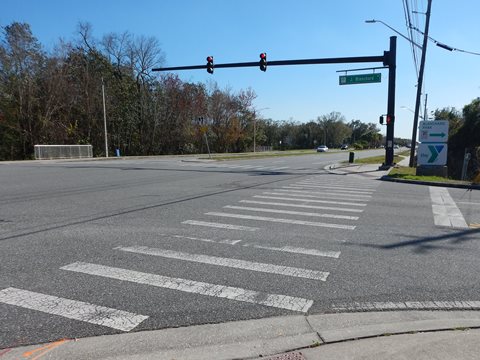
This section of the Little Econ Greenway is more of a neighborhood trail. It starts at Forsyth Road with little fanfare (no parking), although eventually the link from the Cady Way Trail will go through this spot. The trail follows Partridge Lane along basically a wide sidewalk through a residential neighborhood, before crossing a bridge over wetlands to Goldenrod Road, where it's necessary to zigzag across two streets - Goldenrod Rd. and Liverpool Blvd. The trail then parallels Goldenrod for short distance before turning off and running beside a small canal between homes.
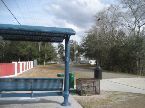
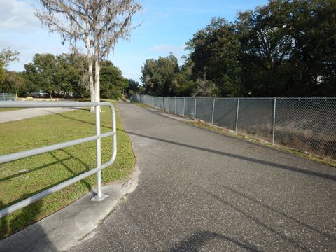
Goldenrod Road to Arcadia Acres
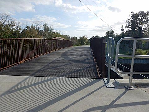
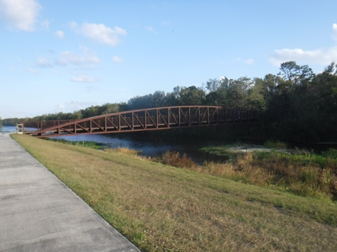
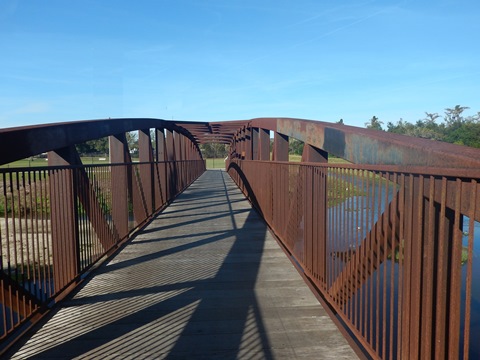
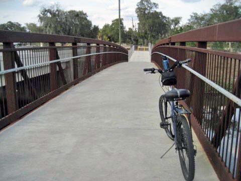
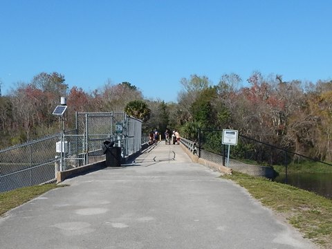
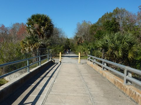
At this point, the worst of the road crossings are over. After turning off Goldenrod, the trail becomes more peaceful as it parallels a small canal between homes. Parking is available at Arcadia Acres Park (parking, restrooms, playground, picnic). The canal ends at a bend in the Little Econ, where there is a trail bridge. Here riders can continue straight to the Park complex, or cross the bridge and ride towards the SR 50 trailhead.
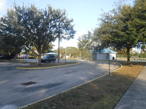
"Loop" at Arcadia Acres
The trail splits and creates a loop, with two options. (See map, this will all be more clear!).
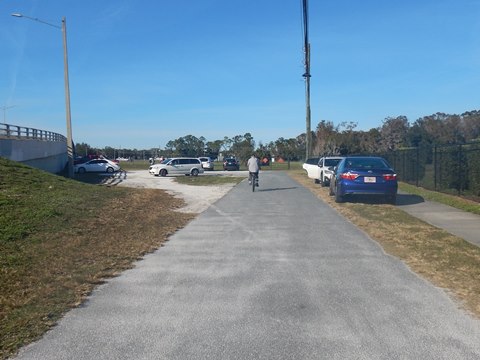
Option 1: Arcadia Acres to SR 50 Trailhead
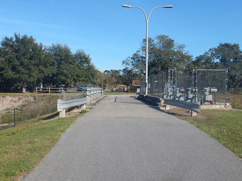
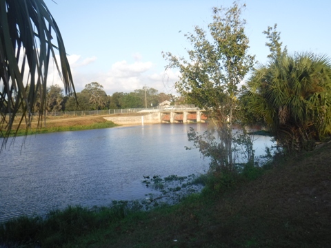
At Arcadia Acres, cross the bridge to the right and follow the river to the paved trailhead (off SR 50 just east of Goldenrod Rd.). The parking area is at the Cheney Dam site.* From the trailhead (parking only), the loop continues on the opposite side of the river, then turns eastbound. You'll pass another bridge to the left, which links back to Arcadia Acres. Or, go straight, past Econ Park and Soccer Complex, to continue on the trail.
* The Cheney Dam is one of 5 dams constructed for flood control, still seen along the trail. The river actually continues past Cheney Dam and under SR 50 to its source at an unnamed lake nearby.
Option 2: Arcadia Acres to Econ Park
The loop can be avoided by going straight, past the Arcadia Acres playing fields to a bridge over the river. Across the bridge, the trail meets the section looping around from SR 50 at Econ Park.
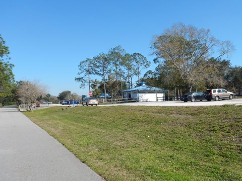
From Econ Park to Blanchard Park
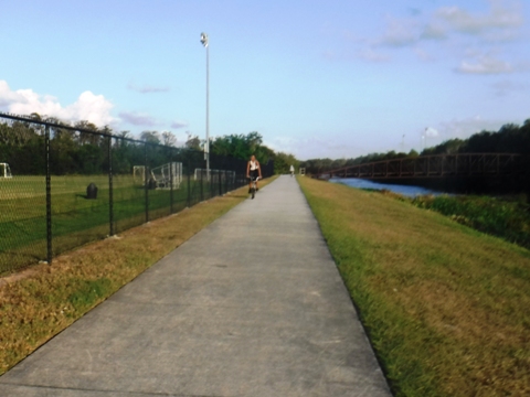
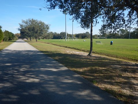
Econ Park to Harrell Road
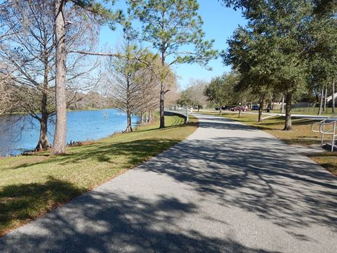
From the bridge at Arcadia Acres the trail passes Econ Park and Soccer Complex, more parking, restrooms and picnic are available here. Then, the trail continues along the river - a pleasant section - to the Banner Dam and another parking area at Harrell Rd. (parking only).
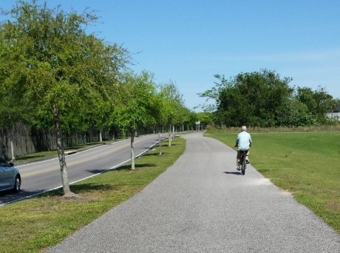
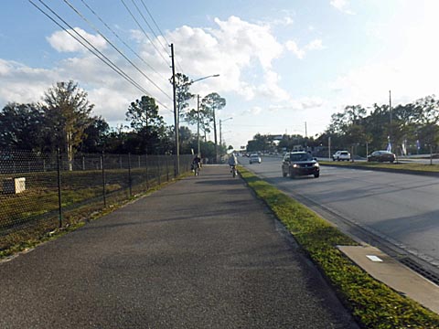
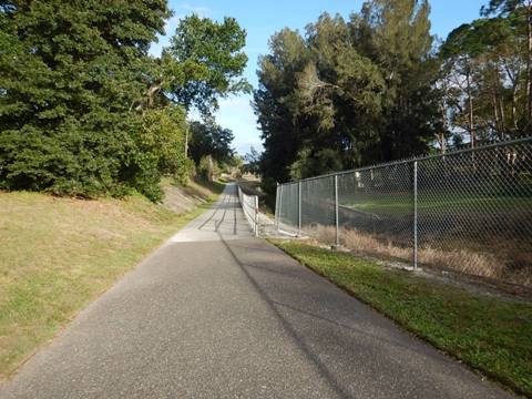
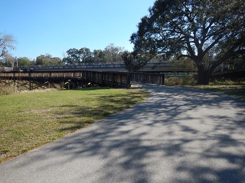
Harrell Road to N. Econlockhatchee Trail
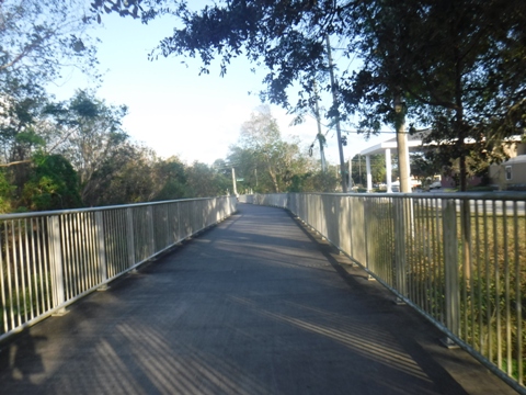
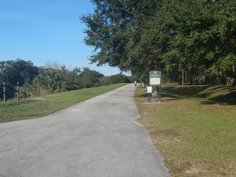
Past Harrell, a bridge crosses the Little Econ linking to residential neighborhoods. The trail continues along the river before going under the SR 417 expressway. Past SR 417 is an open ride, including a stretch along powerlines, before arriving at the underpass at N. Econlockhatchee Trail (roadway). About 300 feet after going under the road, a "Welcome" sign is across from a path to the right. This leads to a parking area off N. Econlockhatchee Trail (next to Riverside Preparatory Academy).

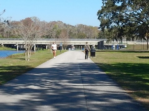
Econlockhatchee Trail to Blanchard Park
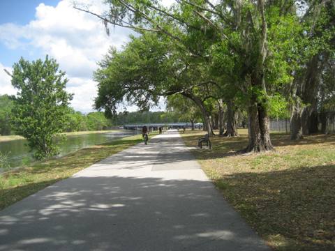
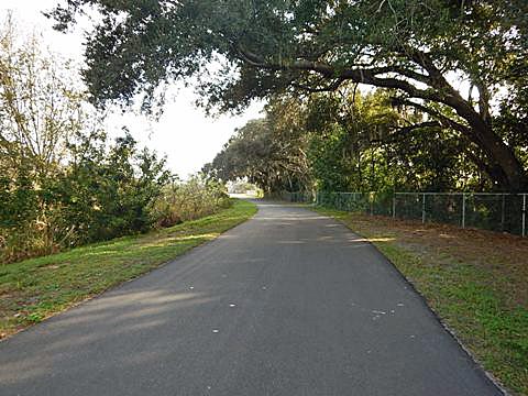
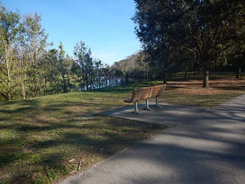
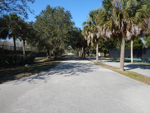
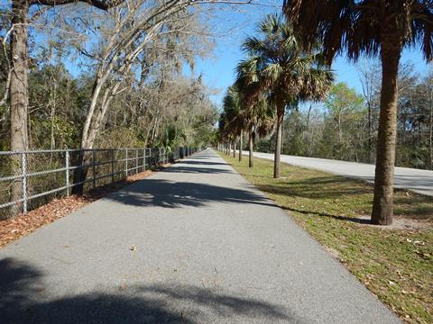
Past N. Econlockhatchee Trail (roadway), the Little Econ Greenway (bike trail) becomes more scenic as it merges with the river, crossing on the Horseshoe Bridge where the river runs under SR 50. This is a pleasant ride along the water, with benches and picnic pavilions. Just after the Dean Road underpass, the trail arrives at Blanchard Park.
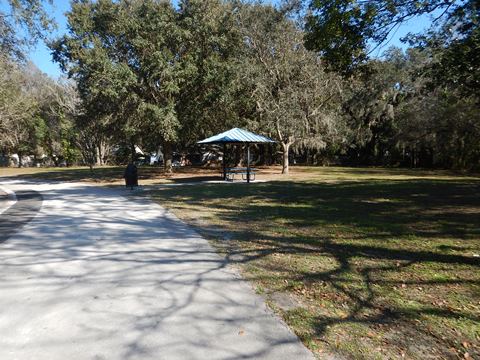

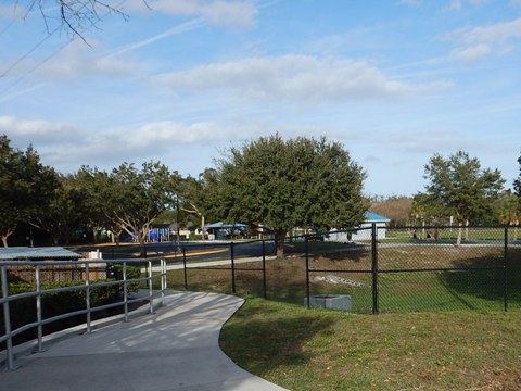
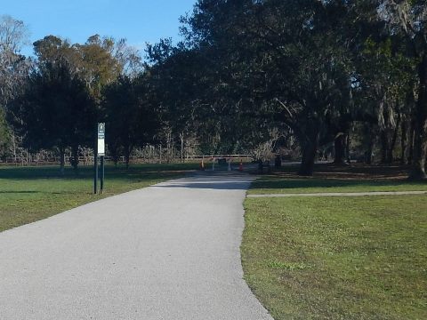
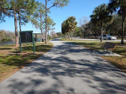
Trail through Blanchard Park
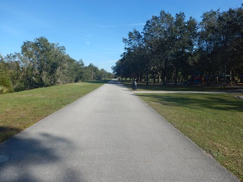
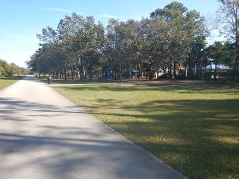
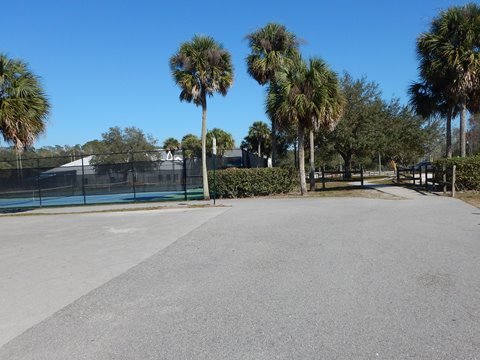
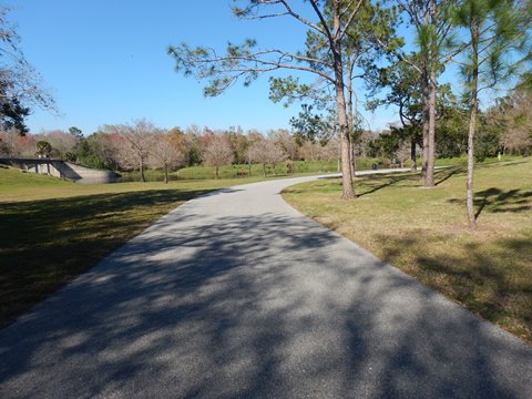
Blanchard Park is a great community asset, popular with locals, families, and recreational visitors for biking, walking, jogging, rollerblading, and fishing. With sweeping views of the Little Econ River from its 87 acres, the park has parking, restrooms, water, benches, picnic tables and pavilions, playgrounds, tennis, volleyball and sports fields. The linear park runs about 1.25 miles from Dean Road (west) to Rouse Road (east). Parking is available at multiple locations throughout the park. More about Blanchard Park .
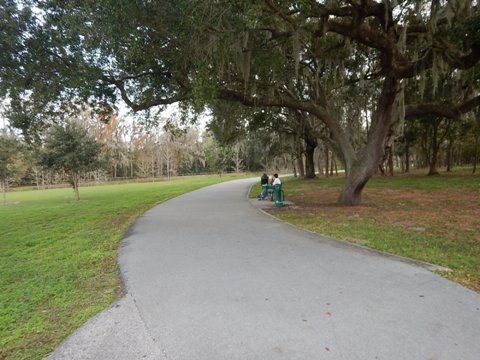
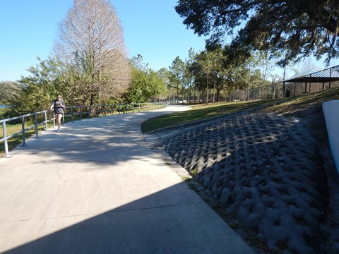
Dean Rd. to Michaels Dam
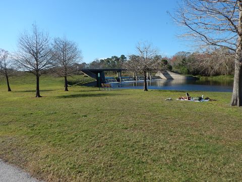
Entering the park at Dean Road, are parking and a picnic table. The trail runs riverside, with access to all park amenities. Approaching the tennis courts, a spur to the left goes to Michaels Dam.

Michaels Dam
Michaels Dam is one of 5 built for flood control. A bridge over the dam is popular for fishing, and leads to some off-road trails.

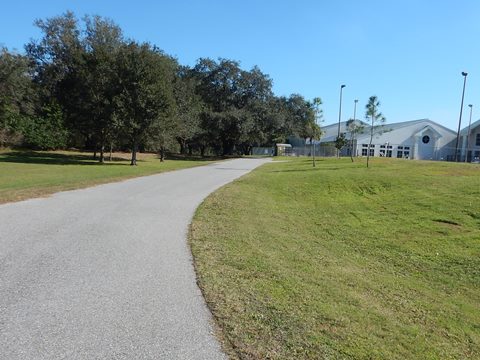
Michaels Dam to Rouse Rd.
Past Michaels Dam, the Little Econ River turns to the north while the Little Econ Greenway continues east past the Blanchard Park YMCA Family Center. From here, it follows Jay Blanchard Trail (a roadway) to the park entrance, proceeding to Rouse Road. From this point, the bike trail becomes less of a recreational trail and more of a commuter trail.
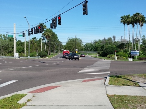
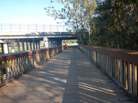
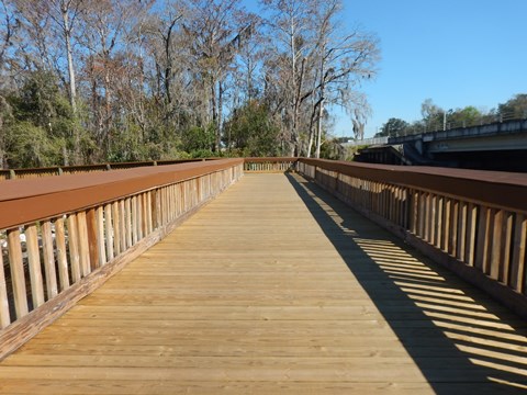
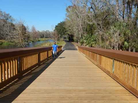
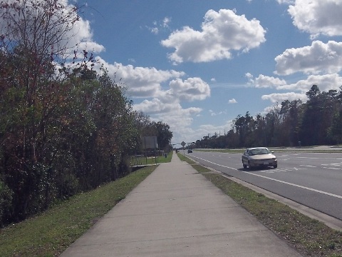
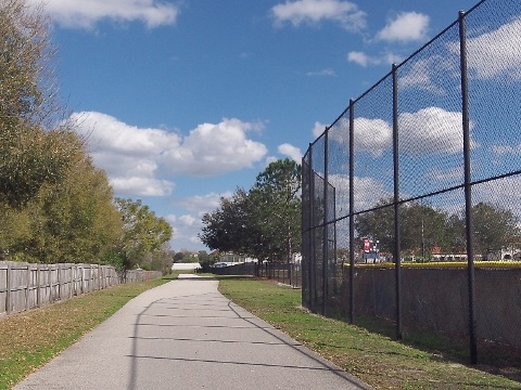
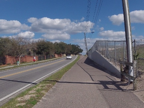
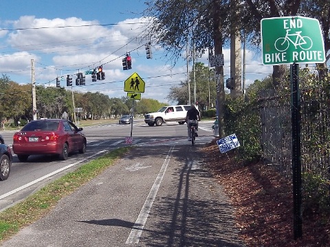
Rouse Road to Alafaya Trail
After crossing Rouse Road, the Greenway continues along the roadway a short distance before going off road again and across a boardwalk. It passes behind University High School and then as a wide sidewalk along Lokanotosa Road to the terminus at Alafaya Trail. The University of Central Florida is a short distance up busy Alafaya Trail (bicycle lanes only, if you dare - or use the sidewalk). Ultimately, the trail will connect to the University.
About the Little Econ River
The Little Econlockhatchee River is a tributary of the Econlockhatchee River. From its source in Orlando south of SR 50, it runs 18 miles to the Econlockhatchee in Oviedo. With 5 dams for flood control, much of the river along the Greenway is more of a canal. Paddling is possible along a short section here, but the river downstream becomes too narrow and winding through the floodplain forest.
More Information and Resources
More Nearby Biking:
Cady Way Trail
Orange County Trails - see Overview Map for more nearby
Nearby Paddling:
Related Resources:
Orange County Parks & Recreation - Little Econ Greenway
Orange
County Parks & Recreation - Little Econ Greenway Trail Brochure (.pdf)
See all bike trails in Orange County


Copyright ©BikeOrlando.net. All Rights Reserved.