Bike Orlando
Over 40 Bike Trails, 300+ Miles
Ride Safe, Greater Orlando, Disney Area
Trail Maps & Photos Galore
You are here >
Home >
Orange County >
Cady Way Trail
Latest update: September 2023
Cady Way Trail...
Orlando - Winter Park Biking
The 7.5 mile Cady Way Trail begins at the Orange/Seminole County line (along Aloma Ave. at Hall Road) and thanks to an extension, now continues past the Fashion Square Mall, ending at Lake Druid Park (Orlando). Popular features include the SR 436 bike bridge, a shady tree canopy between Cady Way Park (Winter Park) and Baldwin Park (Orlando) and connections to other area trails to include the Cross Seminole Trail, Ward Park, the Lake Baldwin Trail, Winter Park Biking, and (via sharrow) the Orlando Urban Trail. (Map and photos below.)
Location: Orange County (Orlando, Winter Park)
End Points: Aloma Ave. at Hall Road (Goldenrod) to Lake Druid Park (Orlando)
Mileage: 7.5 miles
Surface: Asphalt, 12'
Trailheads/Parking: Goldenrod Park, Cady Way Park (Winter Park), McCullough Road (behind Orlando Fashion Square), Lake Druid Park
(See map)
Nearby Points of Interest: City of Winter Park:
Morse Museum featuring Tiffany art, Rollins College, Albin Polasek Sculpture
Museum. City of Orlando: Orlando Museum of Art, Orlando Science Center
Bike Shops / Rentals / Tours / Repairs:
Winter Park Cycles (Sales, service)
Page Summary:
- Biking the Cady Way Trail
- Seminole County Line to SR 436 Bridge
- Cross Seminole Trail, Goldenrod Park - SR 436 Bridge to Baldwin Park
- Cady Way Park - Baldwin Park to Fashion Square
- Link to Lake Baldwin Trail - Fashion Square to Lake Druid Park
- Connector to Orlando Urban Trail - More Information and Resources
Biking the Cady Way Trail... Comments and Photos
Links to Orlando, Winter Park, Baldwin Park and Seminole County make this a "Destination" trail. At its northeast end, the trail connects with the 23-mile Cross Seminole Trail, which connects to the 17-mile Seminole Wekiva Trail (part of the Florida Coast-to-Coast Trail). A future link will connect to the Little Econ Greenway. The long straight-away bridge over SR 436 is a fun change-of-pace (and work-out) for us Florida flatlanders. A one block spur connects to the Lake Baldwin Trail - stop at Baldwin Park Village for food and drink.
Here we visit the Cady Way trail with in-sequence photos while biking from northeast (Seminole County Line) to southwest (Druid Park)
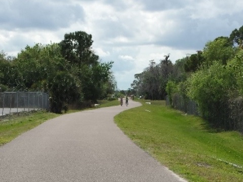
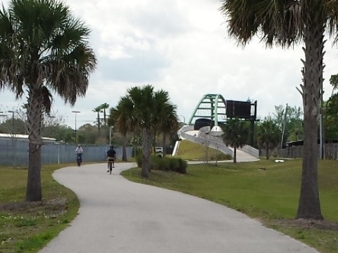
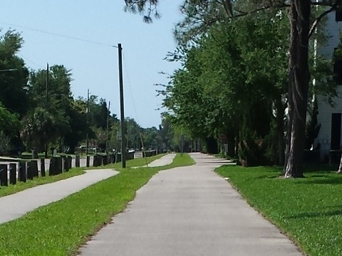
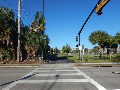
Seminole County Line (MM 0) to SR 436 Bridge - 2 miles
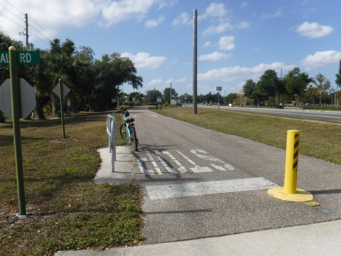
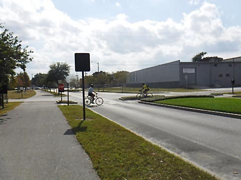
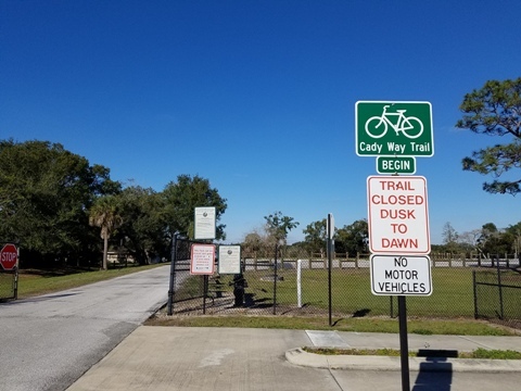
Hall Road to Palmetto Ave. (SR 551)
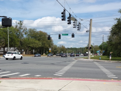
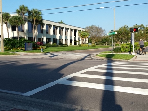
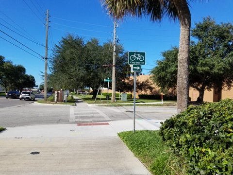
The Cady Way Trail starts just across the road from the Cross Seminole Trail, where Aloma Avenue (SR 426) crosses Hall Road/Howell Branch Road. From the start of the trail at Hall Road/Howell Branch is a short ride paralleling Aloma Avenue to Goldenrod Park (parking, restrooms, water, playground, recreation center). Goldenrod Road and Palmetto Ave. are busy intersections.

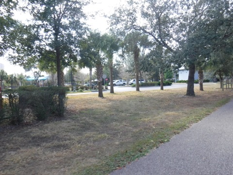

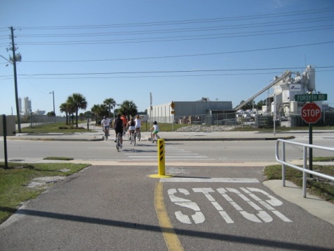
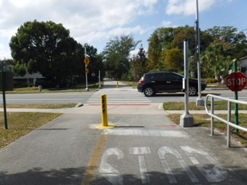
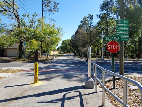
Palmetto Ave. to SR 436 Trail Bridge
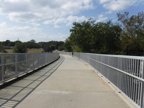
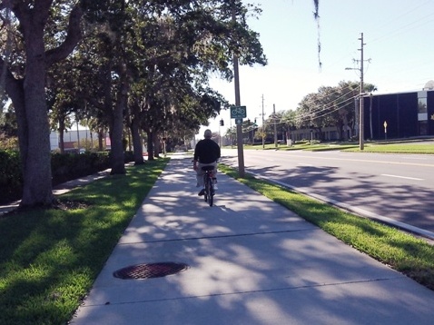
One busy intersection at Forsyth Rd. is between Palmetto Ave. and the SR 436 bridge. This section of the trail is mostly past apartments and an industrial area. MM 1.9 is located just as you reach the top of the 685' trail bridge.
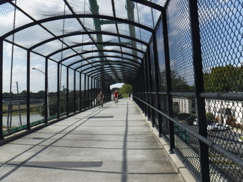
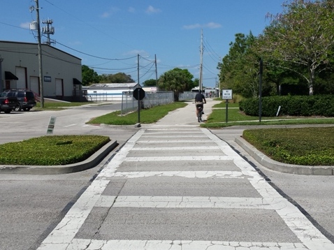
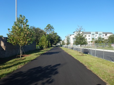
SR 436 Bridge to Baldwin Park - 2.1 miles
SR436 Bridge to Cady Way Park
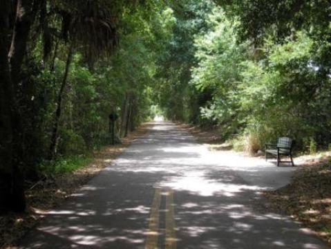
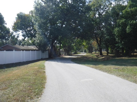
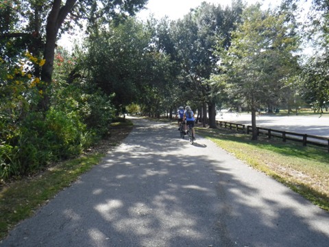
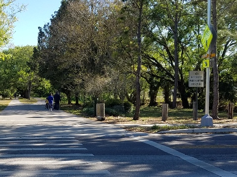
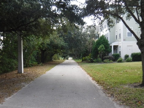
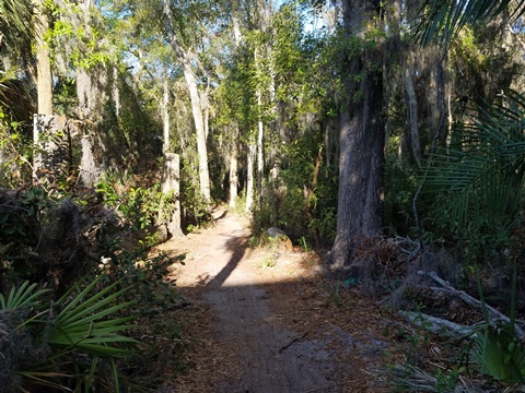
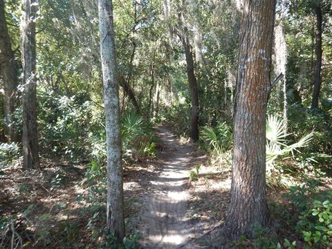
After crossing the bridge, the trail gets more scenic and tree-lined, going through a Winter Park residential area to arrive at Cady Way Park.
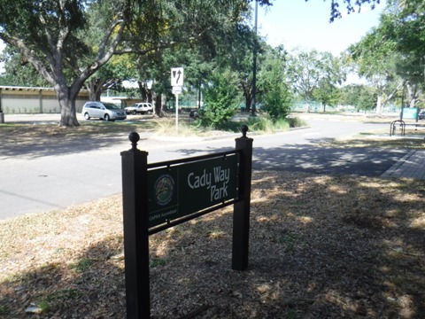
Cady Way Park
Cady Way Park has (parking, water, restrooms, playground, picnic, playing fields, tennis, pool) (MM 2.7). A cycle track links to Brookshire School and Showalter Field. Continuing to Perth Lane on the cycle track, connect to the Ward Park Loch Lomond Trail that winds through Ward Park.
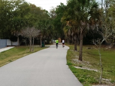
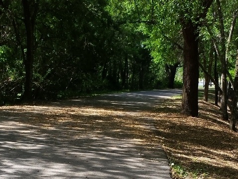
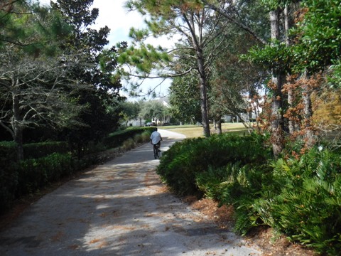
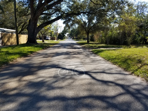
Cady Way Park to Baldwin Park Street
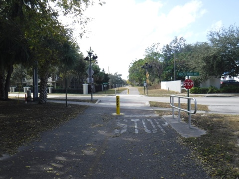
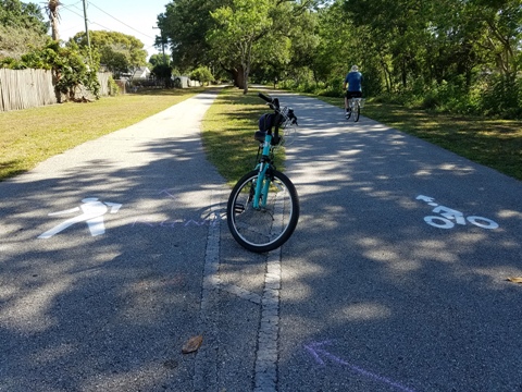
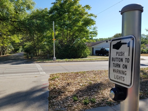
From Cady Way Park to Baldwin Park is a quiet, residential section with more trees and some of the best shaded areas of the trail. At Baldwin Park St. (MM 4.1), a spur to the right goes one block to the Lake Baldwin Trail, and to the left is the start of the Little Econ Greenway (this segment ends at SR 436, a gap needs to be completed to the LEG at Forsyth Road). Warning lights and activation buttons at busy crossings along this section are a bonus.

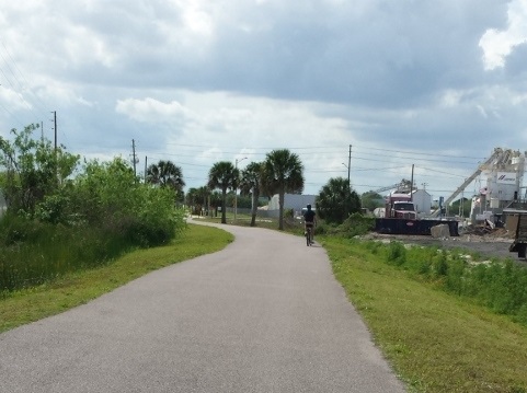
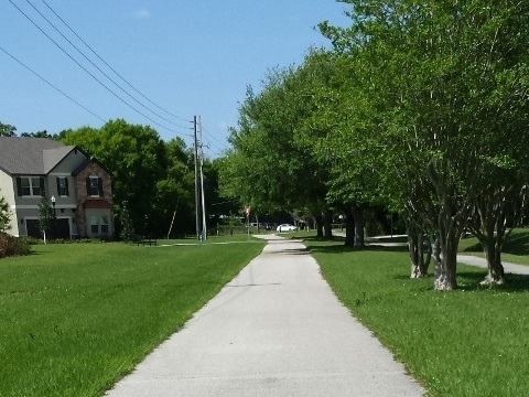
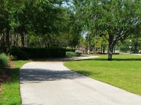
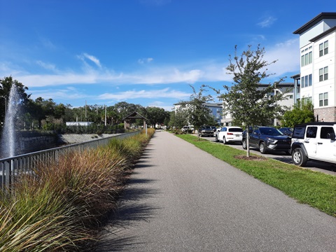
Baldwin Park to Fashion Square - 2.4 miles
Baldwin Park Road to Lake Baldwin Lane
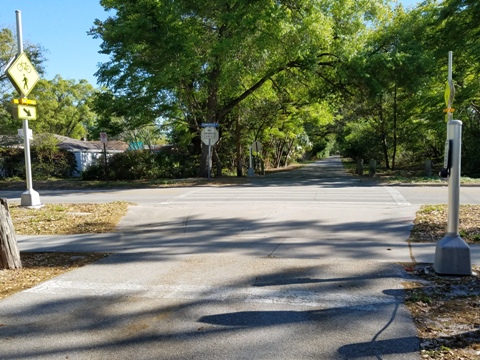
Continuing around Baldwin Park (Cady Way Trail skirts the community, not through it), another spur at Lake Baldwin Lane (MM 5.8) also leads to the Lake Baldwin Trail.
Lake Baldwin Lane to Bennett Road
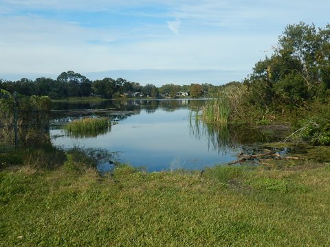
Crossing Lake Baldwin Lane at Roush Road, the trail continues to skirt Baldwin Park, passing Lake Gear to Bennett Road.
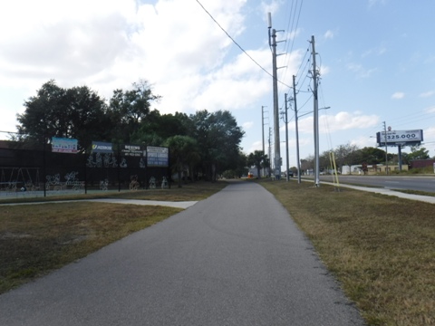
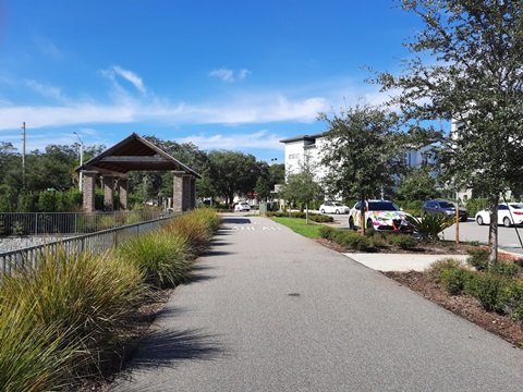
Bennett Road to Fashion Square
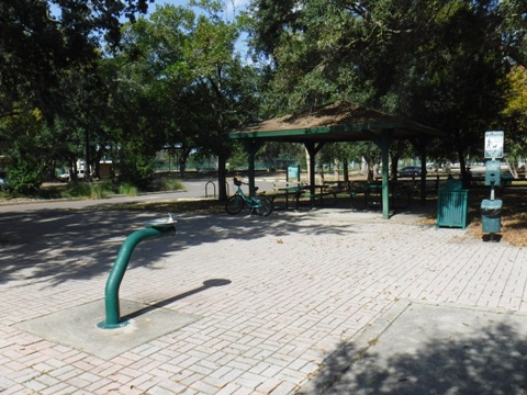
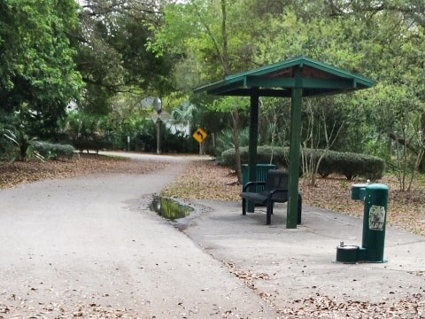
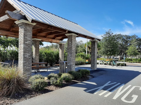
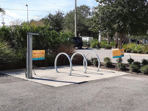
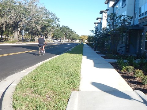
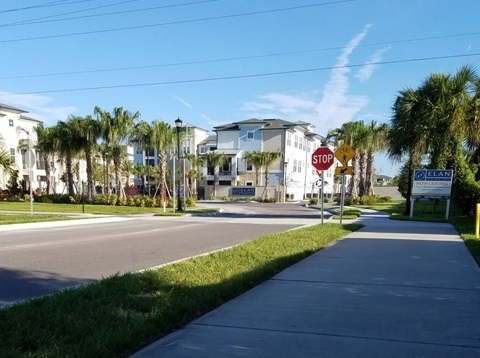
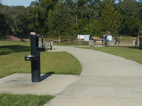
Across Bennett Road, continue to the trailhead at McCullough Avenue, next to the Urban Apartments and across from Fashion Square Mall. The trailhead has picnic pavilion, water, bike repair station. there are only 3 parking spaces at the trailhead, however parking is allowed in the parallel parking spots along Fox St. next to the apartments. This is the original end of Cady Way Trail, completely redesigned with construction of the apartments, and now extended to Lake Druid Park.
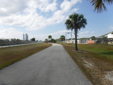
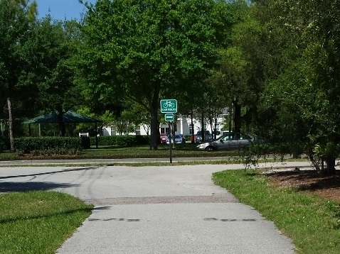
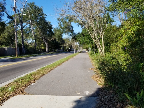
Fashion Square to Lake Druid Park - 1 mile
+ Connector to Orlando Urban Trail
Fashion Square to Lake Druid Park
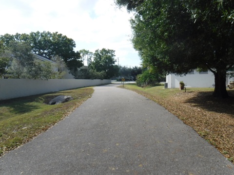
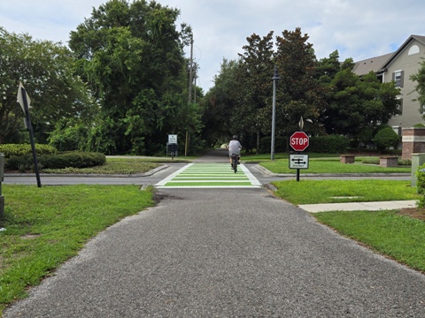
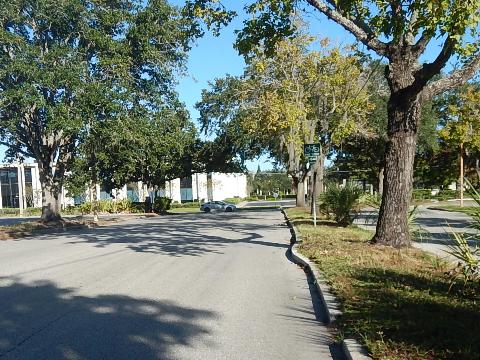
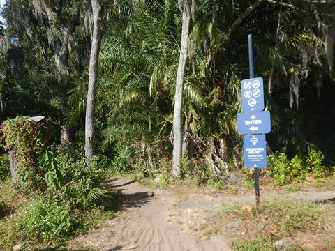
Follow McCullough Rd. to Maguire Blvd. - when the Fashion Square property is eventually redeveloped, a trail path will be built along the south side of McCullough. The trail then runs along Maguire Blvd. next to the Fashion Square Mall, crossing Maguire at Woodcock Road - turn left, then right onto Warehouse Road. The trail cuts away from the road before entering Audobon Park Apartments, ending at Lake Druid Park. Here riders can check out Orlando's first mountain bike park (see more below).
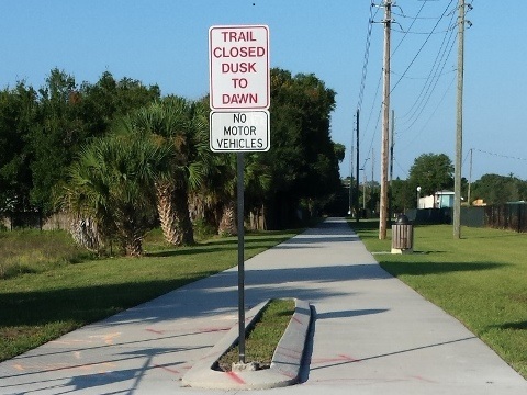

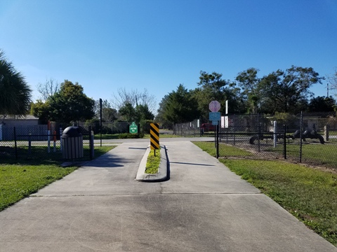
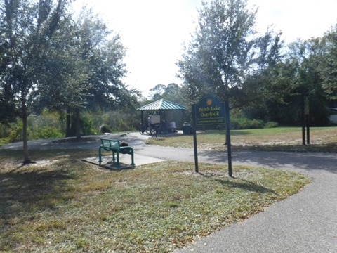
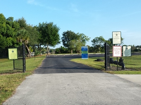
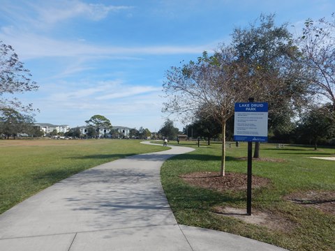
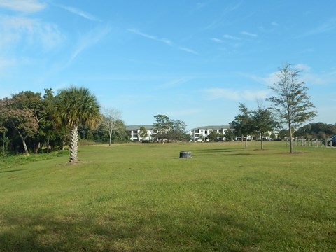
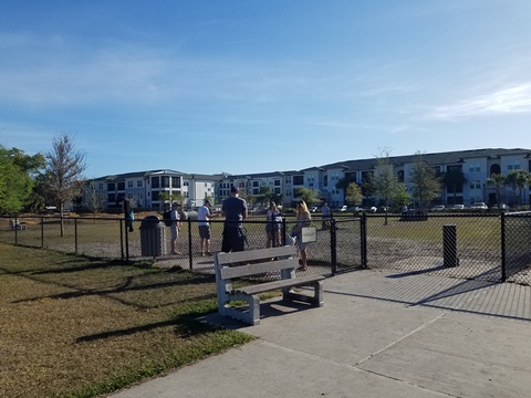
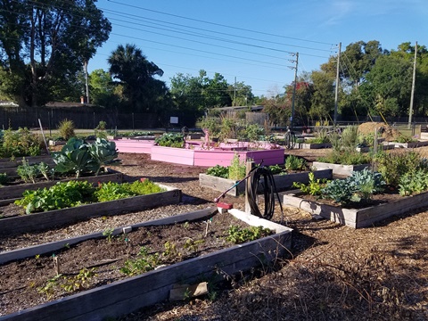
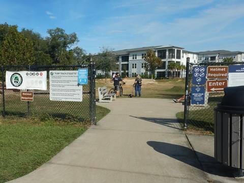
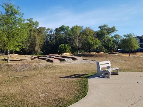
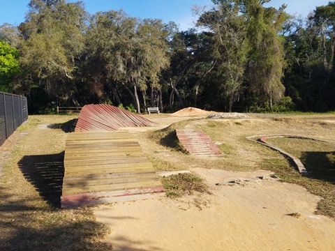
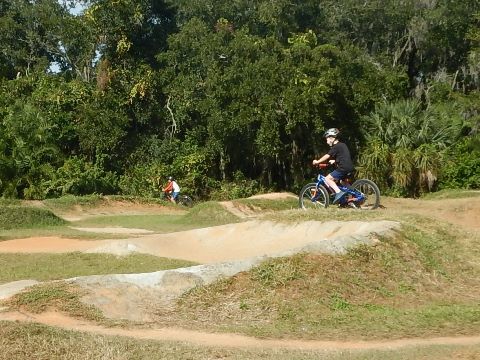
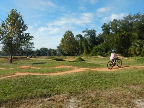
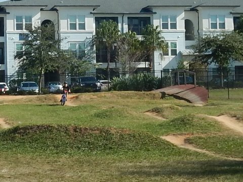
Lake Druid Park
Lake Druid Park has parking, restrooms, a community garden, and a dog park. The small mountain bike park has both pump track and single track.
Lake Druid Park
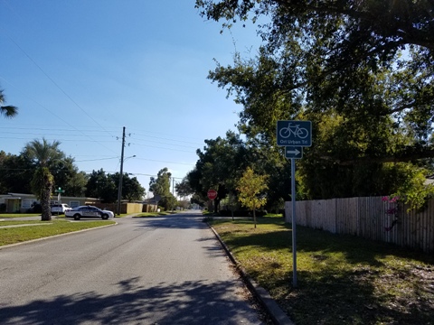
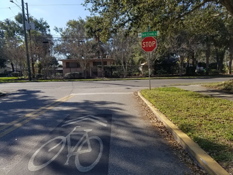
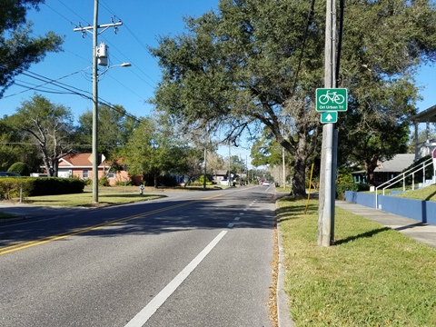
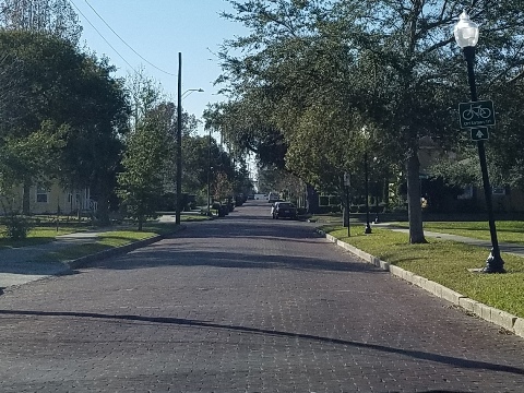
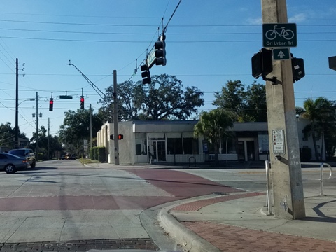
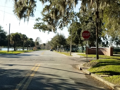
Lake Druid Park to Orlando Urban Trail
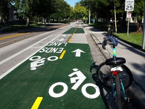
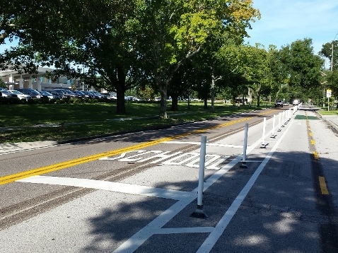
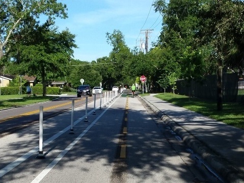
An on-road route has been mapped out from Lake Druid Park to the Orlando Urban Trail at Lake Highland Drive and Ferris Avenue. Signs, "sharrows" and bike lanes along the roadway mark the route. The Bumby Path crosses along Illinois St., 1 mile from SR50 (south) to Corrine Drive (north).


More Information and Resources
More Nearby Biking:
Cross Seminole Trail
Lake Baldwin Trail
Lake Underhill Path
Little Econ Greenway
Winter Park Area
Orange County Trails - see Overview Map for more nearby
Related Resources:
See all bike trails in Orange County

Copyright ©BikeOrlando.net. All Rights Reserved.