Bike Orlando
Over 40 Bike Trails, 300+ Miles
Ride Safe, Greater Orlando, Disney Area
Trail Maps & Photos Galore
You are here >
Home >
Lake County >
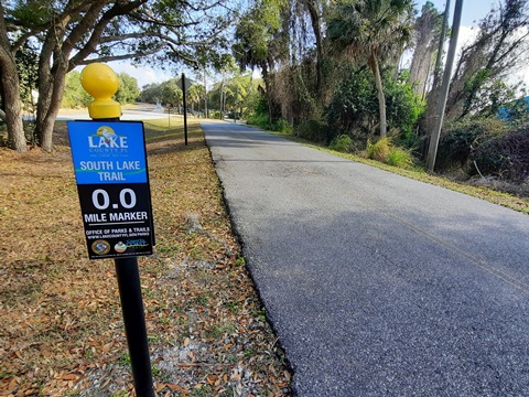
South Lake Trail
Latest update: March 2026
South Lake Trail...
Scenic Lake County, Central Florida Biking
Portions of the 13-mile South Lake Trail, centered near Clermont, FL, are particularly scenic, with views along Lake Minneola and other lakes and sweeping vistas on the sand ridges. The trail connects with the West Orange Trail to create 36 miles of continuous Central Florida biking through Lake and Orange Counties. East of Clermont, the South Lake Trail intersects with the Hancock Trail (open vistas, smooth, and hilly - popular with road bikers). Together, these two trails are now referred to as the "South Lake Trail System." The Trail also serves as a link in the Florida Coast-to-Coast Trail (C2C), with plans to extend west to the Van Fleet State Trail, and is part of the 47-mile Lake Apopka Trail Loop. (Detailed map and photos below.)
Location: Lake County (Clermont)
End Points: Groveland (Silver Eagle Rd.) to
Clermont Waterfront Park to Killarney Station (West Orange Trail)
Mileage: 13 miles
Surface: Asphalt, 14'
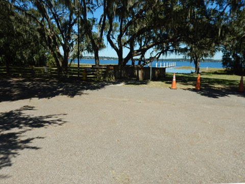
Trailheads/Parking: Lake Hiawatha Preserve
Trailhead, West Lake Minneola Trailhead, Victory Pointe, 8th St. at W. Osceola
St., 8th St. at W. Minneola Ave., Clermont Waterfront Park,
Clermont Boat Ramp, Minneola Park Trailhead, Killarney Station
(West Orange Trail) (See map)
Nearby Points of Interest: Florida Citrus Tower,
Lake Louisa State Park, Clermont Historic Village, Sugarloaf Mountain,
Walt Disney World, Bok Tower Gardens
Bike Shops / Bike Rentals:
Clermont Bicycles
(sales, repair)
Epic Cycles
(sales, service, tours, cafe)
Midpoint Rec
(rentals)
Trek Clermont
(rentals, sales, service)
Page Summary:
- Biking the South Lake Trail
- Silver Eagle Road (Groveland) to Victory Pointe Park (Clermont)
- Lake Hiawatha Preserve and Trailhead, West Beach Park, Victory Pointe Park,
- Clermont Historic Village, Legacy Loop Trail - Trail at Clermont Waterfront Park
- Splash Park, Beach, Playground, Boat Ramp - Clermont Boat Ramp to Minneola Park Trailhead
- US 27 underpass, Minneola Park Trailhead - Minneola Trailhead to Killarney Station
- Hancock Trail, sand ridges, Killarney Station, West Orange Trail - More Information and Resources
Biking the South Lake Trail... Comments and Photos
- The City of Clermont provides many amenities including parking, restrooms, parks, restaurants and shops, and accommodations.
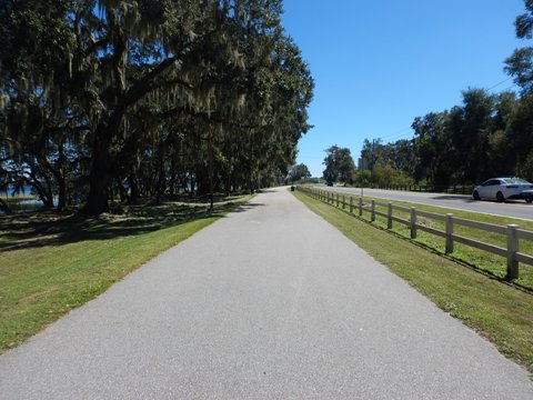
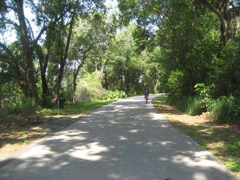
- The Minneola Scenic Trail section along the waterfront between Clermont and Minneola is particularly enjoyable.
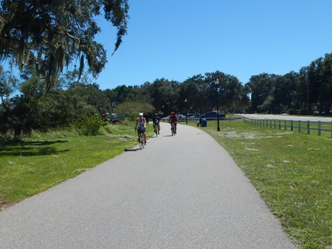
- The section from Minneola to the Lake/Orange County line runs on the Central Florida sand ridge with some challenging hills - popular with road bikers and triathletes.
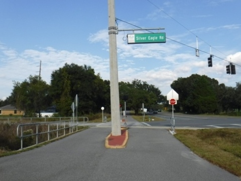
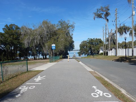
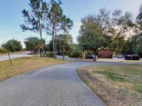
Silver Eagle Road (Groveland) to Victory Pointe Park (Clermont) - 4 miles
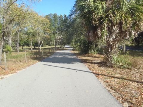
Silver Eagle Road to Lake Hiawatha Preserve Trailhead (2.75 miles)
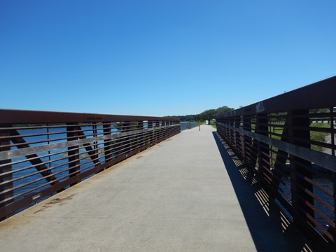
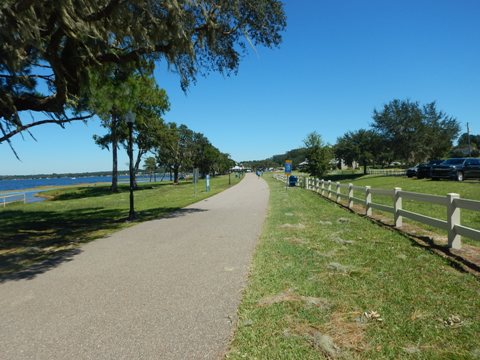
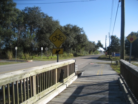
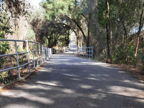
Silver Eagle Road marks the western end of South Lake Trail, however it's slated to be extended westward from here as part of the Florida Coast-to-Coast Trail. Paralleling CR 565A and CR 561, the trail includes two bridges. Lake Hiawatha Preserve Trailhead has parking, restrooms, picnic, and a fishing pier. There's limited parking at the trailhead, but more across CR 561 at the Preserve.


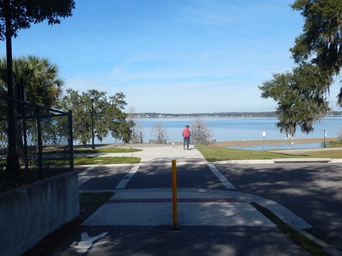
Lake Hiawatha Preserve Trailhead to Victory Pointe Park (1.25 mile)
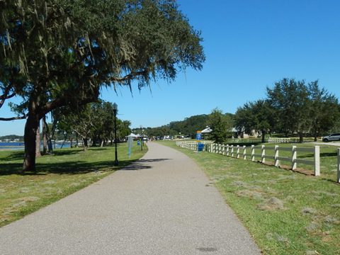
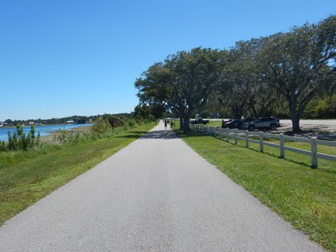
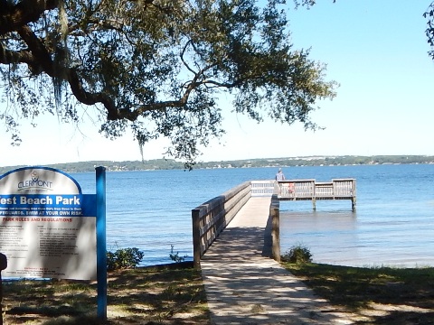
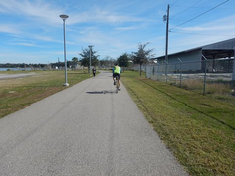
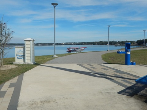
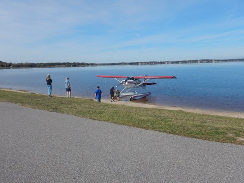
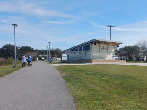
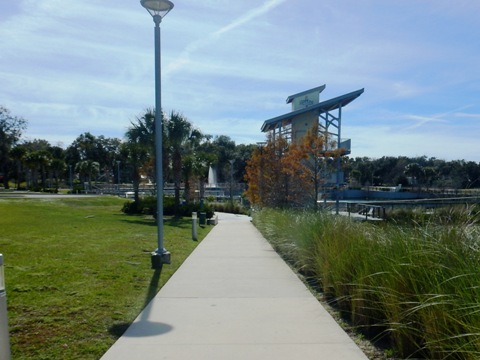
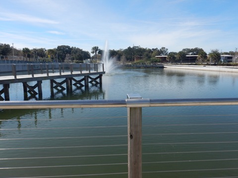
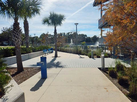
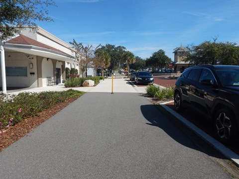
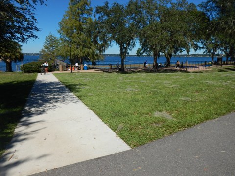
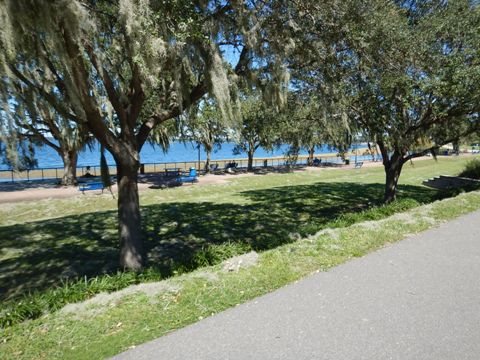
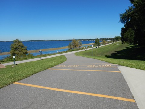
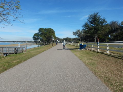
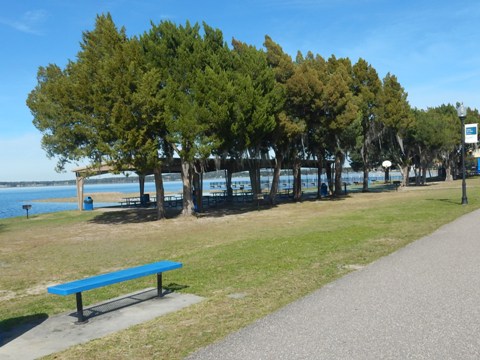
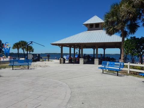
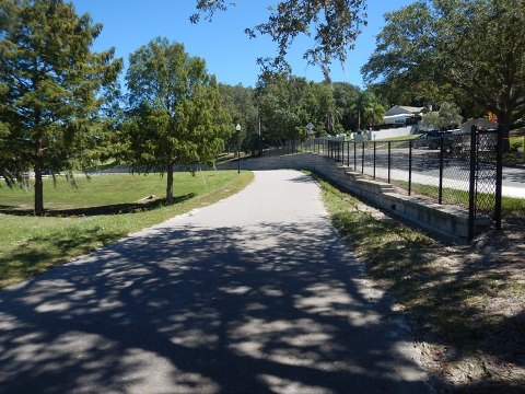
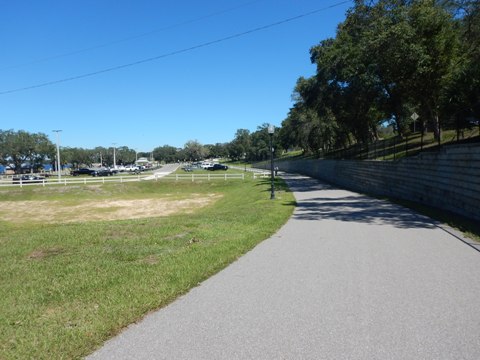
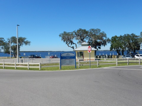
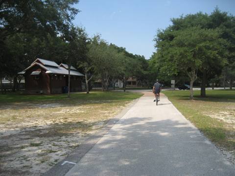
The trail continues next to CR 561, crossing a bridge lakeside (where it enters Clermont City Limits), to West Beach Park (parking, restrooms, playground, pier). Past here, the trail leaves the roadside, and continues along the waterfront to Victory Pointe Park. The park was developed as part of a stormwater treatment project to improve water quality at Lake Minneola; it includes recreational trails, restrooms, an event pavilion, viewing platforms and observation tower, and links to the Legacy Loop Trail (more below). Just past Victory Pointe Park, Clermont Waterfront Park begins.
Along the Trail


Two worthwhile detours from Victory Pointe Park
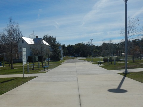
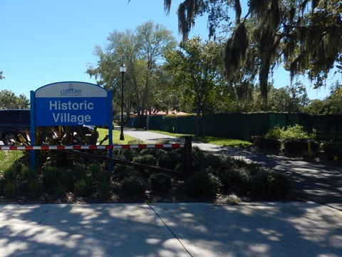
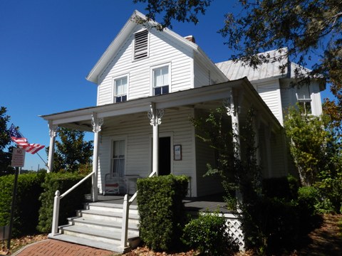
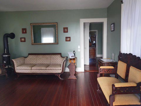
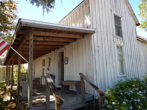
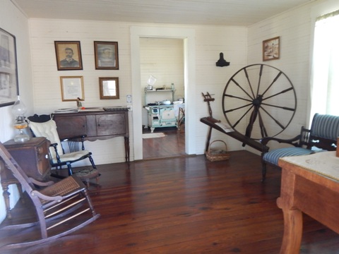
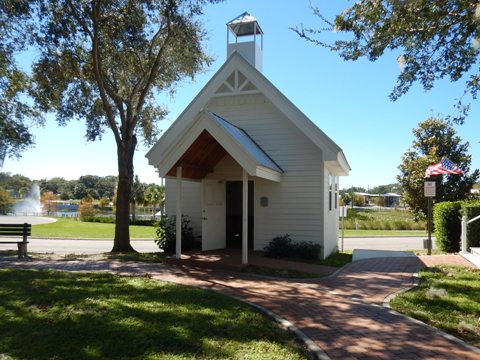
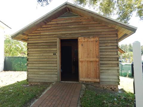
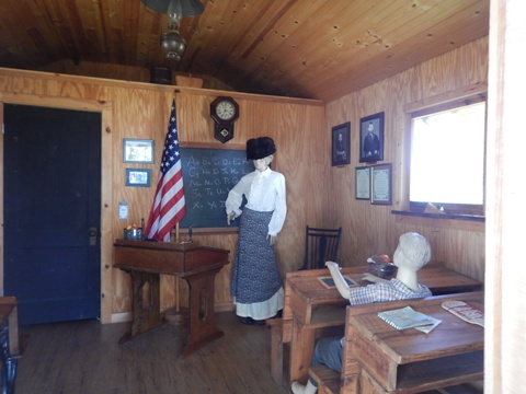
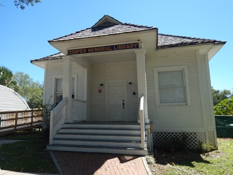
Clermont Historic Village Museums
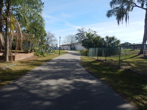
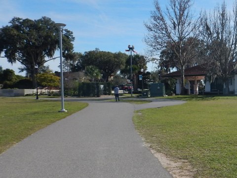
If you happen to be biking on a Saturday or Sunday afternoon, a worthwhile stop just behind Victory Pointe Park is a tour of the Clermont Historic Village conducted by the Clermont Historical Society. A collection of historic buildings from around Clermont depicts Clermont history from the 1800's to WWII. Seven buildings on the site include originals and replicas. Link to Legacy Loop Trail along West Ave. More information

Legacy Loop Trail
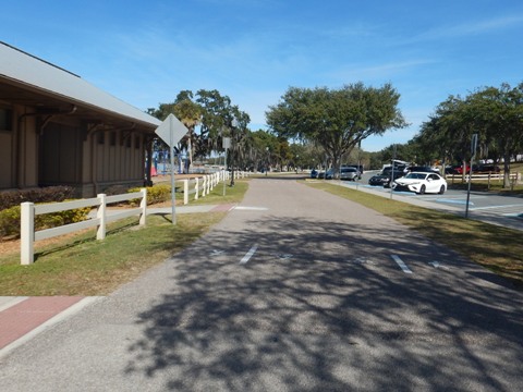
The Legacy Loop Trail connects South Lake Trail to Downtown Clermont. We visited the northern leg along Minneola Ave. from Victory Pointe Park to 7th St., passing the 8th St. Trailhead and Bell Tower, restaurants, a brewery and other businesses, plus a link to the Historic Village. At 7th St. the Loop turns south through Downtown Clermont, but we rode north to W. Osceola St. and returned to the South Lake Trail.
More About Clermont: Located at the midpoint of the Florida Coast-to-Coast Trail (C2C) and recognized as a Florida Trail Town, Clermont - called "The Choice of Champions" due to its athletic training facilities - is implementing a Master Plan including upgrades to Waterfront Park, a Wi-Fi Trail, the Legacy Trail Loop, and Meet Us in the Middle Plaza being developed to highlight Clermont's position at the midpoint of the C2C. With restaurants, shops, and nearby accommodations, Clermont is well poised as a popular stop for C2C bikers.
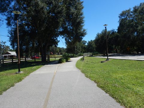
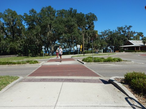
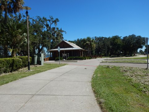
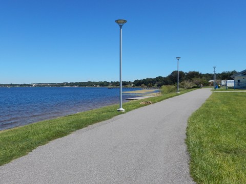
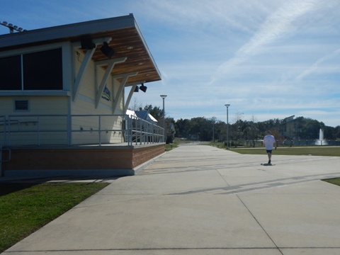
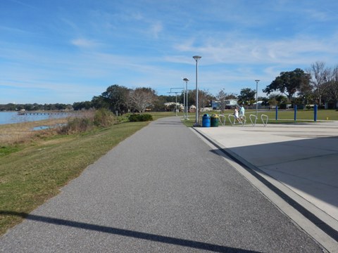
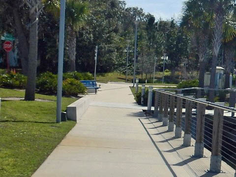
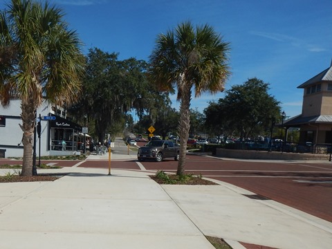
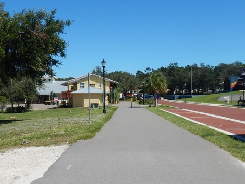
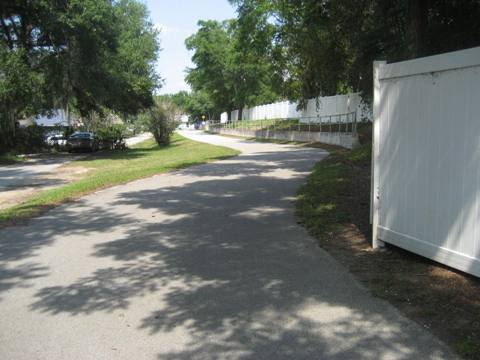
Trail at Clermont Waterfront Park (1 mile)
(Victory Pointe Park to Clermont Boat Ramp)
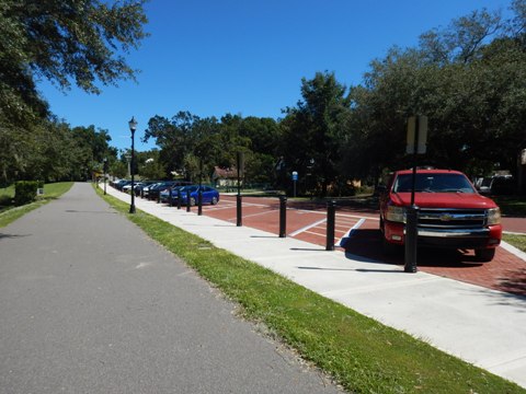
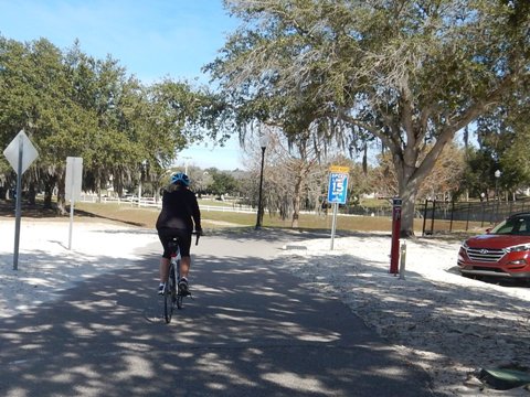
Past Epic Cycle World at 8th Street are two options entering Clermont Waterfront Park:
- Continue straight on the trail along W. Osceola St., on a bluff overlooking the lake. Here the trail has been widened and parking area enhanced. The trail then angles back to the waterfront at 7th St. where the Legacy Loop connects.
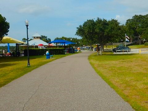
- Take the path down to the lake and 8th Street dock. The path runs along a promenade with benches and picnic tables, but also many pedestrians - we recommend through bikers use the Osceola St. route. This area is designated for developed as the Meet Us in the Middle Plaza.
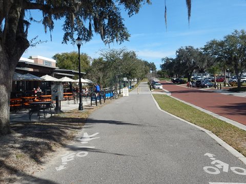
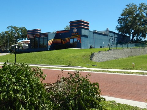
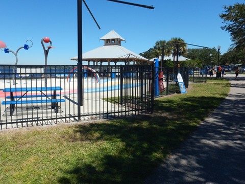
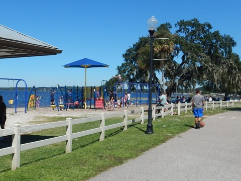
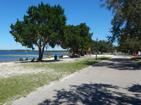
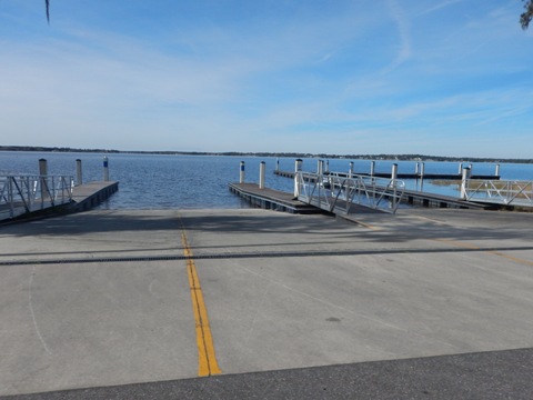
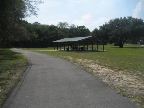
Continuing along the shoreline, the trail is well buffered from the road, picnic tables and benches are provided; you'll see fishermen and picnickers. Past Champions Splash Park is extensive parking plus the beach, picnic pavilions, restrooms, and playground. At the Clermont Boat Ramp are parking and restrooms.
Victory Pointe Park to Splash Park
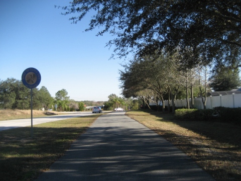
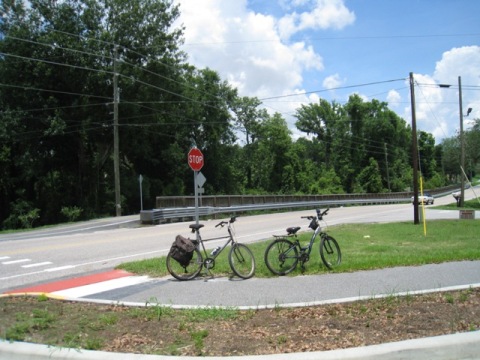
Clermont Boat Ramp to Minneola Park Trailhead (1.5 miles)
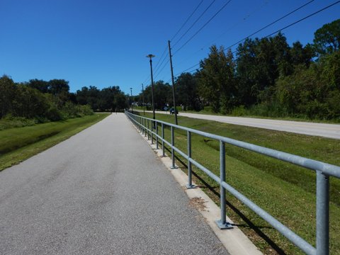
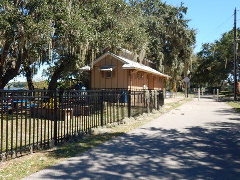
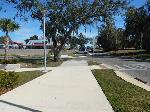
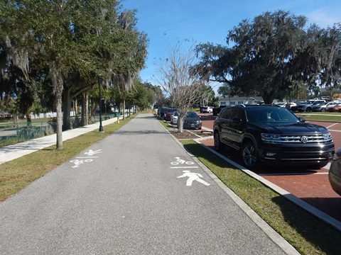
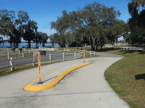
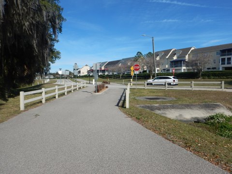
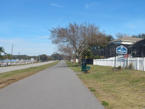
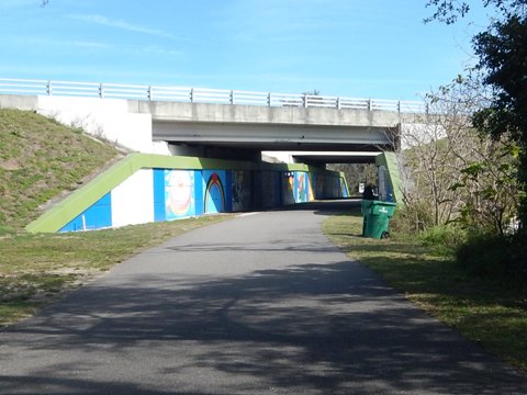
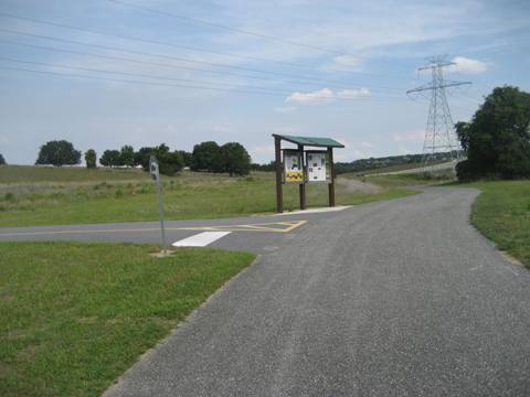
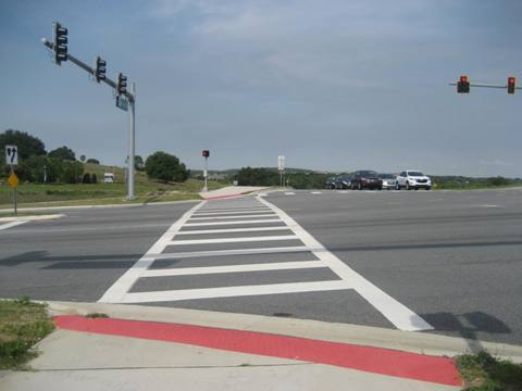
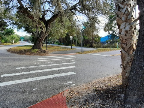
Past the Boat Ramp, the trail crosses Lake Minneola Drive then runs roadside about 1/2 mile before breaking away at Main Street. Continuing to Minneola is a pleasant shaded ride (and one of the few trails with streetlights). The underpass at US 27 is a positive, now decorated with a Murals on the Trail project. About a half mile east of US 27, a spur off the trail runs 0.3 mile to Minneola Park Trailhead.
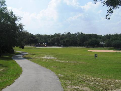
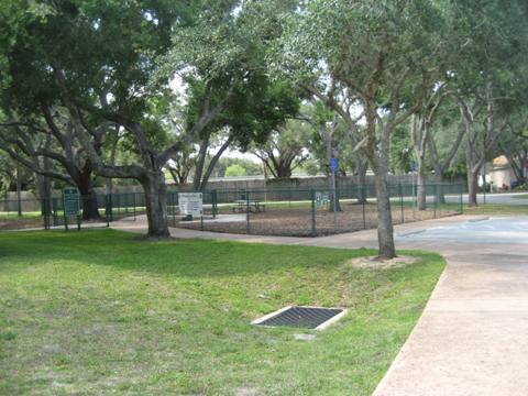
Minneola Park Trailhead has parking, restrooms, ball fields, basketball court, playing fields, playground, picnic areas, and a dog park.
Clermont Boat Ramp to Minneola Park Trailhead


Minneola Trailhead to Killarney Station - 6.2 miles
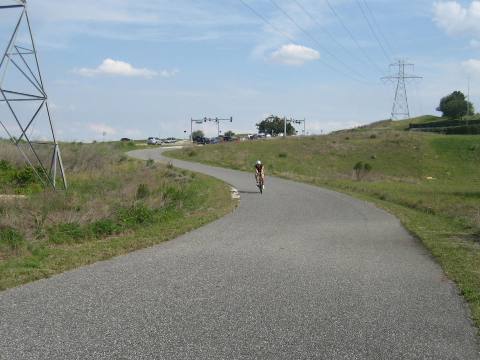
Minneola Trailhead to N. Hancock Rd. (1.5 miles)
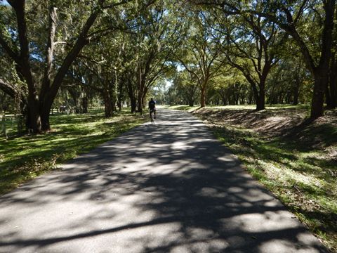
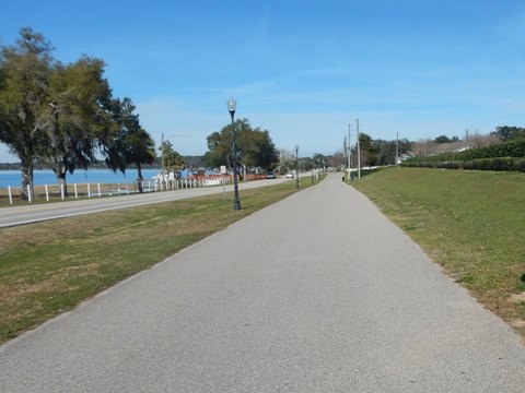
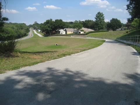
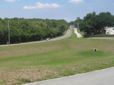
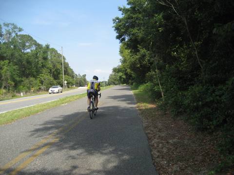
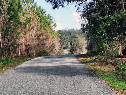
Here the trail runs along Old Hwy. 50 on the Central Florida sand ridge, sporting the highest elevations of any rail-trail in the state. Featuring open vistas and some challenging hills on the sand ridges, this is a popular location for triathletes in training.
The trail joins the Hancock Trail, running 9 miles - south to the National Training Center at South Lake Hospital), and north to the Lake Apopka (North Shore) Trail as part of the 47-mile Lake Apopka Trail Loop.
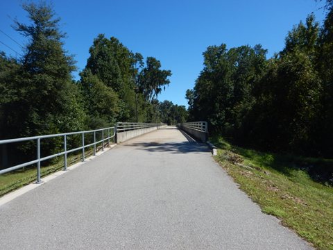
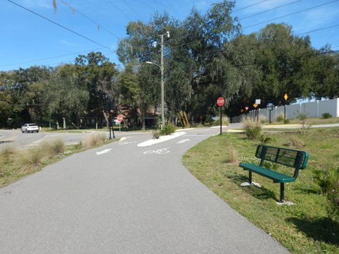
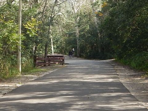
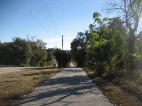
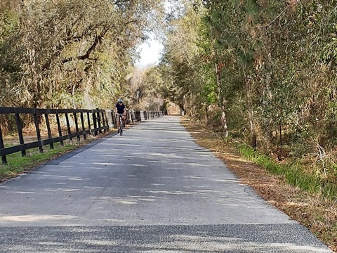
N. Hancock Rd. to CR 455 Boardwalk (3 miles)
After crossing N. Hancock Road, the trail continues paralleling Old Hwy. 50. Here it flattens out and is a pleasant section to ride. Old Hwy. 50 ends at CR 455, then the trail continues along CR 455 to a boardwalk. At the end of the boardwalk, cross the road to continue on the trail.
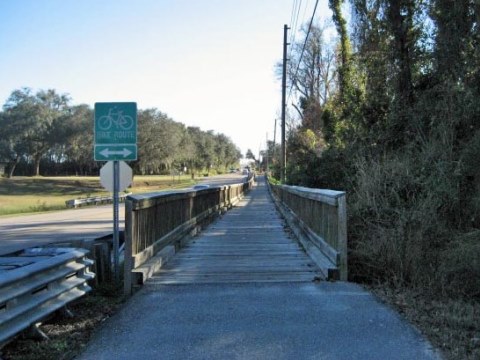
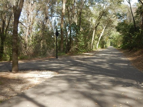
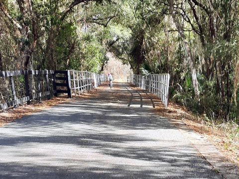
CR 455 to Killarney Station (1.7 miles)
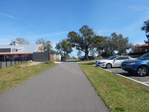
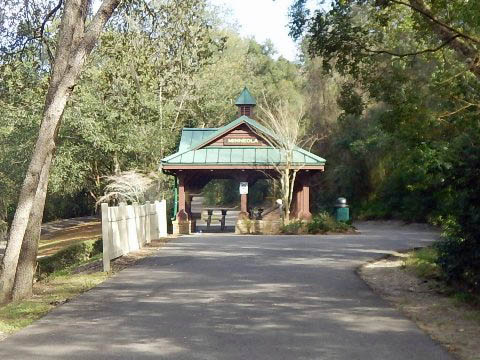
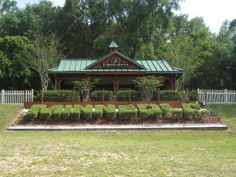
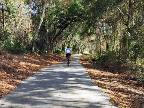
This section running east to Killarney Station is off the road and shaded with some nice hills and turns. Although it parallels Old Hwy. 50, it's buffered from the road by vegetation until near the end. There's just one road crossing at Lake Blvd., approaching trail end at the Lake/Orange County line. The trail links seamlessly with the West Orange Trail (link below), then it's another 0.10 mile to Killarney Station (parking, restrooms, bike rentals, snacks, picnic, playground).
More Information and Resources
More Nearby Biking:
Apopka Trail Loop -
South Lake Trail is part of the 47-mile Loop around Lake Apopka
West Orange Trail
- connects at eastern end of South Lake Trail
Lake County Trails - see Overview Map for more nearby
Watch a Video:
Hancock & South Lake Trail, in Minneola and Clermont, Florida , from our friend Dave at Phonamana
Related Resources:
Lake County - Parks and Trails
City of Clermont - Parks and Trails
See all bike trails in Lake County


Copyright ©BikeOrlando.net. All Rights Reserved.