Bike Orlando
Over 40 Bike Trails, 300+ Miles
Ride Safe, Greater Orlando, Disney Area
Trail Maps & Photos Galore
You are here >
Home >
Orange County >
Shingle Creek Trail - Orange
Latest update: March 2023
Shingle Creek Trail, FL... Orange County Section
Planned Regional Bike Trail... See Latest Updates Here
The Shingle Creek Trail in Orange County (aka "Shingle Creek Regional Trail") will ultimately run 17 miles from SR 50 in Orlando to the Osceola County line, where it will meet the Osceola County/Kissimmee segment of the trail to total 32 miles when completed. The northern end at SR 50 (about 5 miles from downtown Orlando) will connect to the Pine Hills Trail, which eventually will link to the Florida Coast-to-Coast Trail. Currently, the trail runs about 12 miles from Kirkman Road to Destination Parkway, and from Taft-Vineland Road to Town Loop Blvd., linking neighborhoods, schools, and businesses, plus a greenway and natural areas. Detailed map and photos below.
Location: Orange County
End Points: Kirkman Road to Destination Pkwy.
and Taft-Vineland Rd. (9 miles) to Town Loop Blvd. (3 miles)
completed; other sections under construction or design
Mileage: 12 miles;
17 miles in Orlando/Orange County when completed
Surface: Paved, 12 feet
Trailheads/Parking: Eagle Nest Park, Oak Ridge
Road, Destination Pkwy. (See map)
Nearby Points of Interest: Universal Studios
Bike Shops / Rentals:
Trek Bicycle Orlando Southchase (sales, service)
Page Summary:
- Biking the Shingle Creek Trail (Orange County/Orlando)
- Northern Section:
- Raleigh St. to Oak Ridge Road - Middle Section:
- Oak Ridge Road to Taft-Vineland Road - Southern Section:
- Taft-Vineland Road to Osceola County Line - Shingle Creek Trail at Hunters Creek:
- Vista Park to Town Center Pkwy. - More Information and Resources
Biking the Shingle Creek Trail (Orange County/Orlando)... Comments and Photos
When completed, this will be an important link in the growing Central Florida trail network. The 12-foot trail is an easy ride, care should be taken when crossing the larger roads. We've broken the trail into 3 sections, each with its own characteristics. Portions remain under construction or planned.
Northern Section - Raleigh St. to Oak Ridge Road
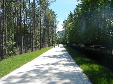
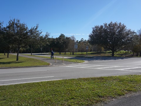
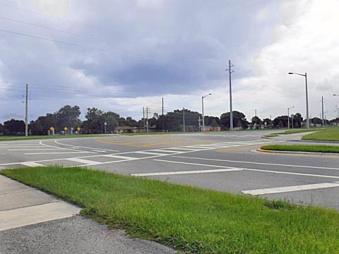
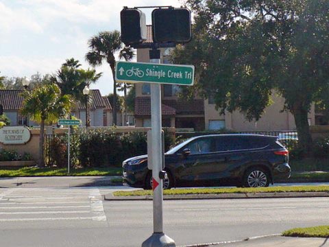
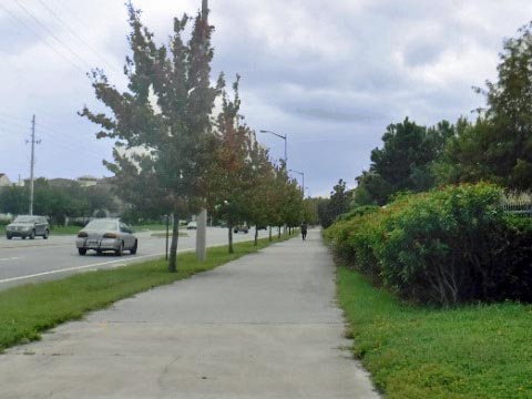
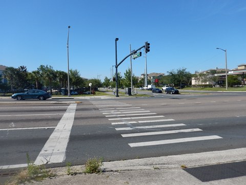
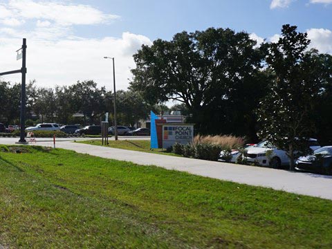
The northern section (currently starting from Kirkman Road at Raleigh St., past the Eagle Nest Park trailhead to Oak Ridge Road) is an easy ride, mostly roadside except for one section at a canal and conservation area. There are 4 busy road crossings (L.B. McLeod, Conroy, Vineland and Oak ridge Roads), be very careful and use the crossing signals. Signs at intersections along the way are helpful in following the trail.
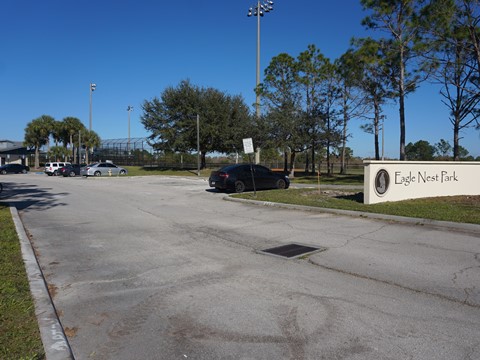
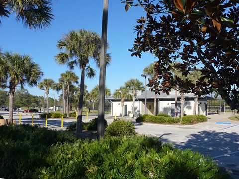
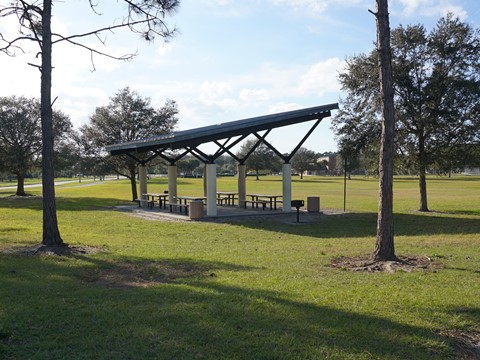
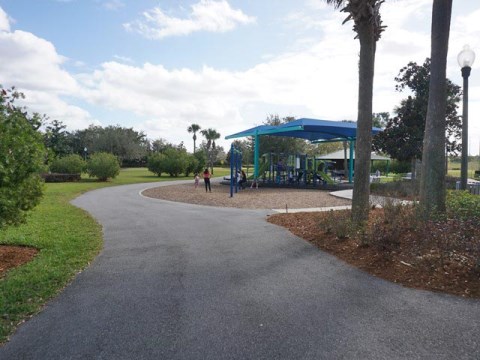
Eagle Nest Park
The trailhead at Eagle Nest Park (parking, restrooms, picnic, playing fields), includes about 1 mile of multi-use paths winding through the park, and we also rode the 2-mile Lake Fran Loop Trail at the park which connects to the Shingle Creek Trail - a pleasant diversion off the road.
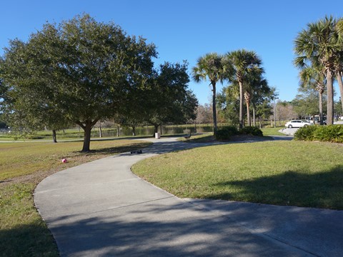
Eagle Nest Park to Raleigh St. (1.7 miles)
From the park, the trail runs west along Metrowest Blvd., crossing the road just past Eagle Nest Elementary School. This section to a bridge that crosses a canal is an older part of the trail, uneven with many tree roots. Over the bridge and continuing to Kirkman Road is a newer section with smooth pavement. At Kirkman, cross Metrowest Blvd. and continue north - this is a busy intersection so take care in crossing. Along Kirkman Road, it's a straight shot to Raleigh St. - the downside is several road crossings, mostly into apartment complexes serving Valencia College across the road. A future extension from Raleigh St. to SR 50 will connect to the Pine Hills Trail.
Eagle Nest Park to Conroy Road (2 miles)
From Eagle Nest Park, the trail runs east along Metrowest Blvd. about 4/10 mile to President Barack Obama Pkwy. Cross Metrowest and continue south on Obama Pkwy., crossing busy L.B McLeod Road and then to end of the parkway at Conroy Road. Cross Conroy and go right, at about 2/10 mile the trail turns left to parallel a canal.


Conroy Road to Oak Ridge Trailhead (2 miles)
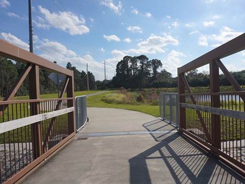
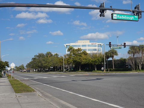
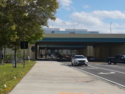
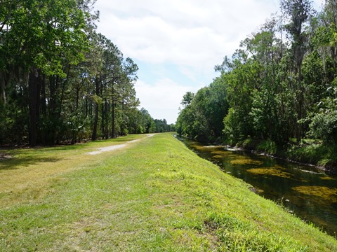
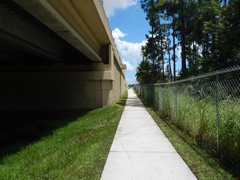
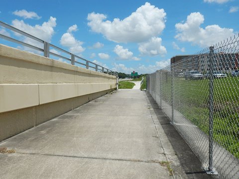
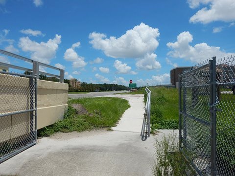
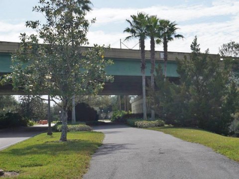
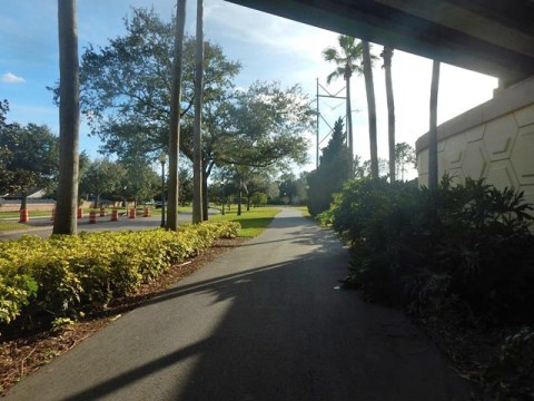
From the point where the trail turns off Conroy Road along the canal, watch for a bridge to the right (about 3/10 mile), turn and cross the canal to continue on Shingle Creek Trail. (Note: At the bridge, a path continues straight along the canal, but it exits at Vineland Road onto a narrow sidewalk, about 4/10 mile to the I-4 underpass.) The route after crossing the bridge is a pleasant 1.25 mile ride around a large pond and bordering a conservation area - sections are uneven with tree roots pushing through the pavement. Though there are housing developments paralleling the trail here, they are unobtrusive and the trail maintains a natural feel. The trail emerges roadside again along Vineland Road, crossing at Radebaugh Rd. where it runs under the I-4 highway to Millenia Blvd. Follow Millenia Blvd. to Oak Ridge Road (about a mile) and cross busy Oak Ridge. Follow Oak Ridge westbound, over the Florida Turnpike to the Oak Ridge Road Trailhead.

Middle Section - Oak Ridge Road to Taft-Vineland Road
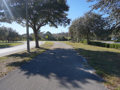
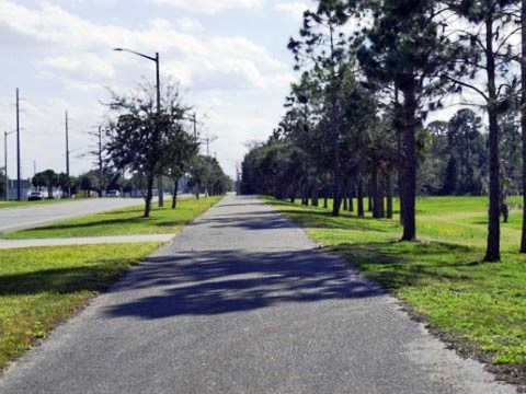
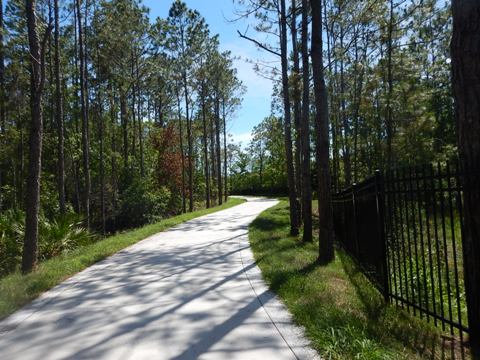
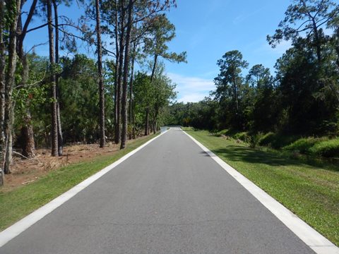
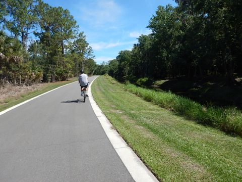
The middle section starting from the Oak Ridge Road Trailhead to Taft-Vineland Road is more pleasant - the trail runs along the canal as a greenway.
Oak Ridge Road to Sand Lake Road (2.25 miles)
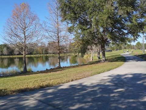
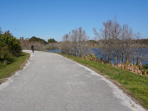
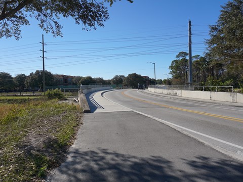
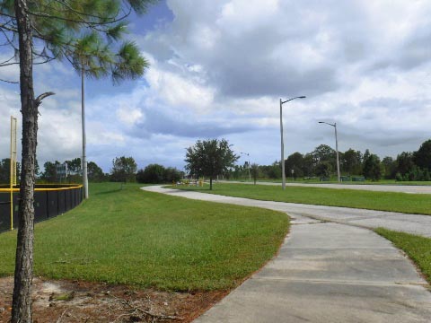
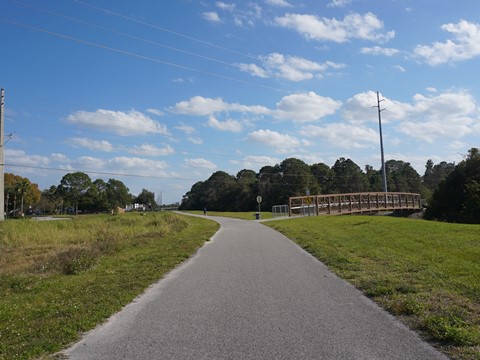
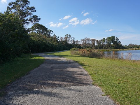
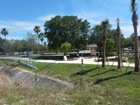
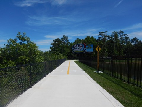
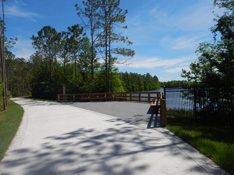
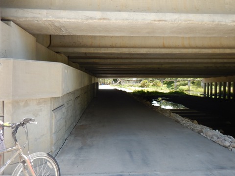
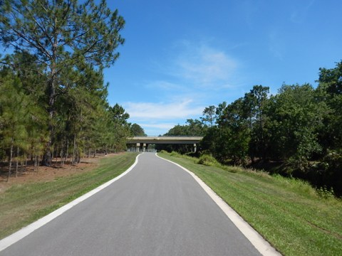
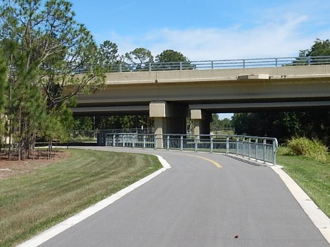
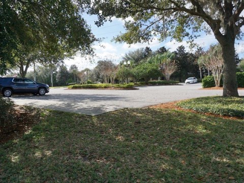
This starts the prettiest section of the trail, through a greenway along the creek, an easy ride. To access the Oak Ridge Road trailhead (at the 2 mile marker), enter the parking lot at Bass Pro Shop/Outdoor World from Oak Ridge Road and bear left. The trail first runs on a path between the Florida Turnpike and some businesses, though a wide buffer it's quite noisy. After turning away from the road, it goes through a pretty greenway with two overlooks at a lake and arrives at Sand Lake Road. At Sand Lake Road, ride up the ramp, go east along the road, then a sharp turn leads to an underpass - a big plus on this busy road!

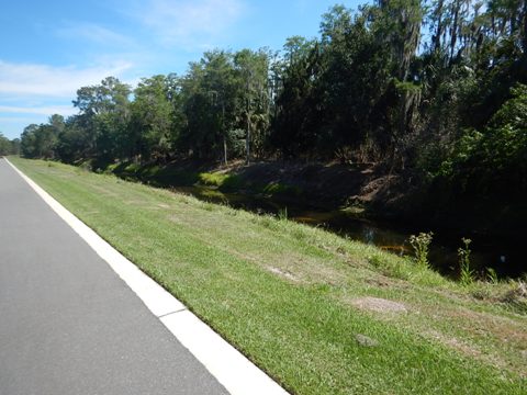
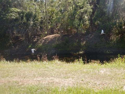
Sand Lake Road to Destination Pkwy. (1 mile)
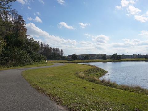
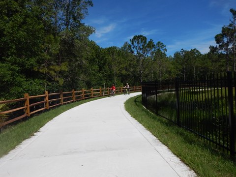
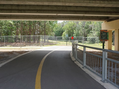
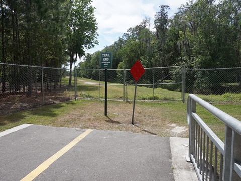
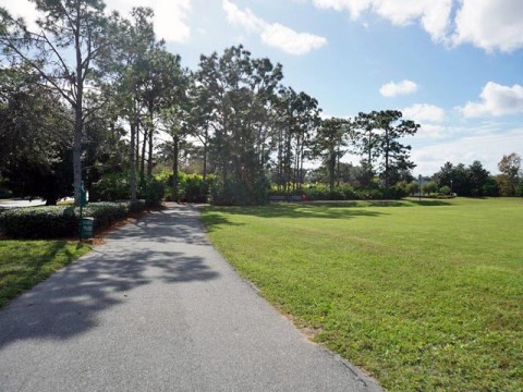
We didn't see parking along the road near here, the trailhead is reachable by bike or foot only. From here, you can actually see the creek as the trail follows the greenway to Destination Pkwy. and the temporary trail end. There were signs warning of snakes and alligators along the creek, we didn't see any but did see birds. Although close to a busy commercial aream atge trail has a remote feel with an easy ride.
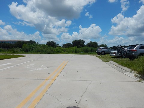
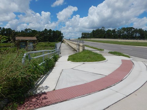
Destination Pkwy. to Taft-Vineland Road (2.3 miles)
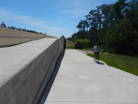
At Destination Parkway, a ramp leads up at the bridge to Trailhead parking. From here is future construction (2024-25), the trail will run along Shingle Creek until reaching Taft-Vineland Road.
Southern Section - Taft-Vineland Road to Osceola County Line
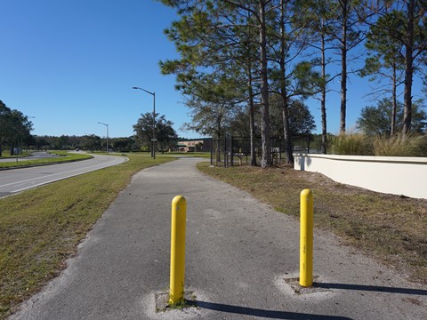
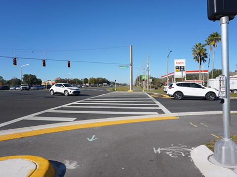
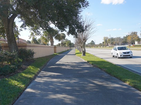
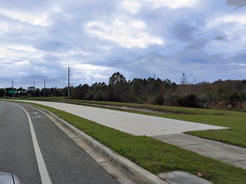
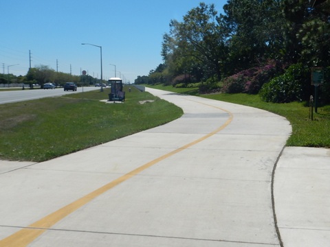
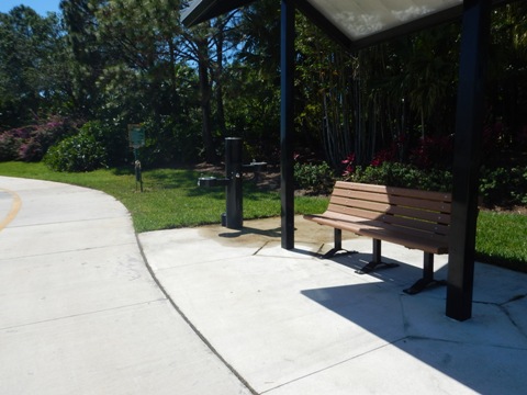
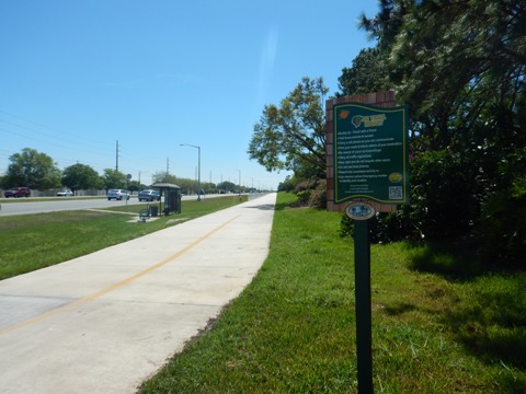
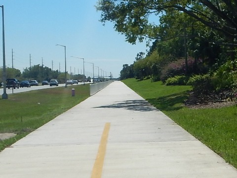
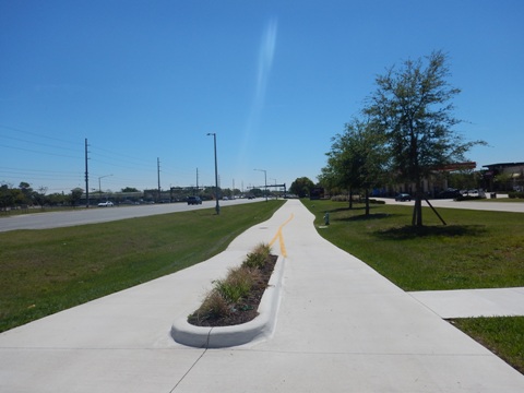
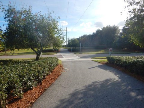
Taft-Vineland Road to Town Loop Blvd. (3 miles)
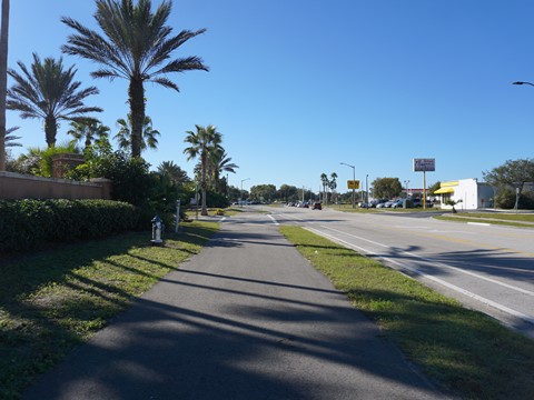
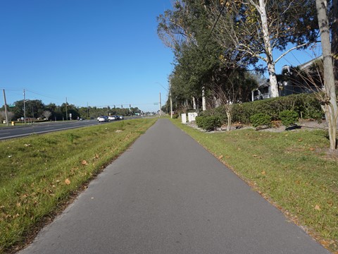
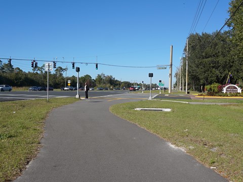
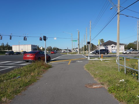
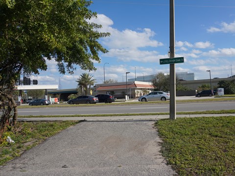
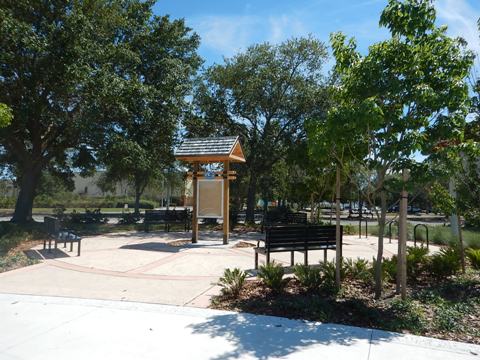
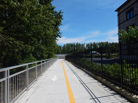
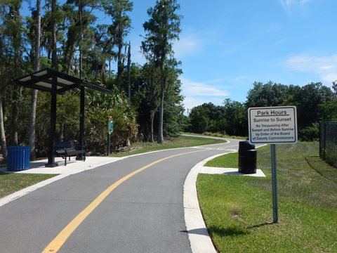
From the intersection with Taft-Vineland Road, the trail runs along Central Florida Pkwy. to John Young Pkwy. where it continues roadside with no shade to Town Loop Blvd. Several large road crossings, be careful. Covered benches and water located at regular intervals.
From Town Loop Blvd. to the Osceola County line (2 miles) is future construction (2023-24). The trail will continue along John Young Pkwy.

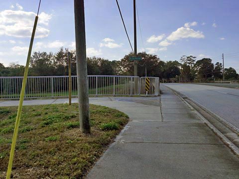
Shingle Creek Trail at Hunters Creek (1 mile)
Vista Park to Town Center Blvd. (1 mile)
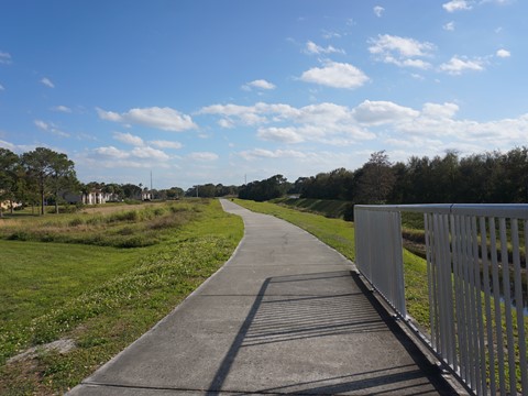
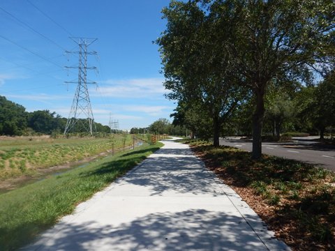
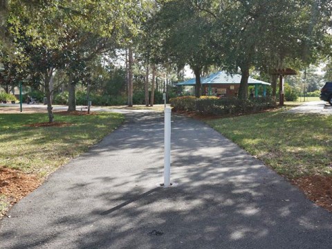
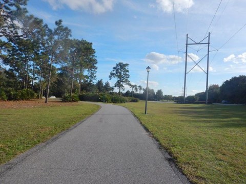
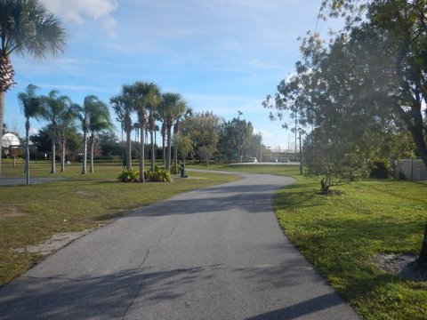
This section of Shingle Creek Trail, located about 2 miles west of John Young Pkwy., is not along the main Regional component of the trail. Running north-south along a powerline, it serves as a pleasant neighborhood trail through the Vista Park neighborhood at Hunters Creek (southwest Orange County). To the north from the Vista Park trailhead, it continues unpaved along the powerline into the Shingle Creek Management Area, an eco-biking destination.
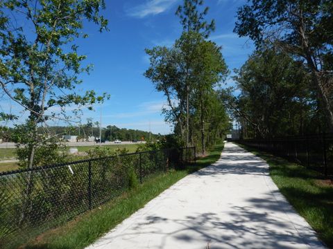
The trail and Vista Park trailhead at Hunter's Vista Blvd. are open to the public, but parks and recreational facilities are restricted to residents. To the south is an easy ride paralleling Hunter's Vista Blvd., along the powerline with a few neighborhood road crossings and an underpass at SR 417. The trail currently ends at Town Center Blvd.

More Information and Resources
More Nearby Biking:
Shingle Creek Trail (Overview)
Shingle Creek
Trail South - Osceola County section
Shingle Creek Management Area (eco-biking)
Lake Fran Loop Trail
Pine Hills Trail
Orange County Trails - see Overview Map for more nearby
Related Resources:
Orange County - Shingle Creek Trail
City of Orlando - Shingle Creek Trail
See all bike trails in Orange County


Copyright ©BikeOrlando.net. All Rights Reserved.