Bike Orlando
Over 40 Bike Trails, 300+ Miles
Ride Safe, Greater Orlando, Disney Area
Trail Maps & Photos Galore
You are here >
Home >
Orange County >
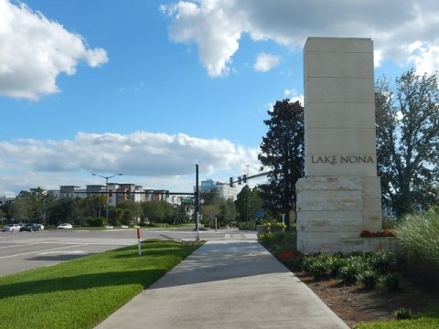
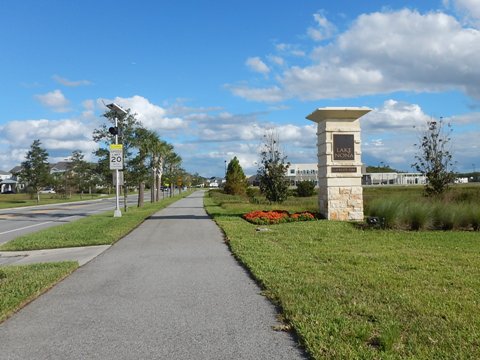
Lake Nona
Latest update: February 2023
Lake Nona and the Orlando Southeast Trail...
Bike-friendly Community... Miles of Multi-use Trails
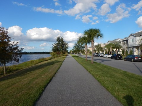
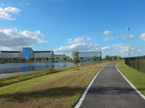
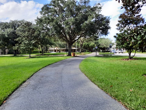
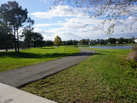
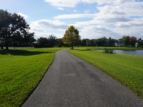
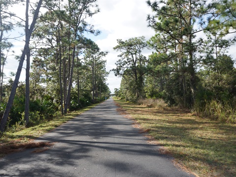
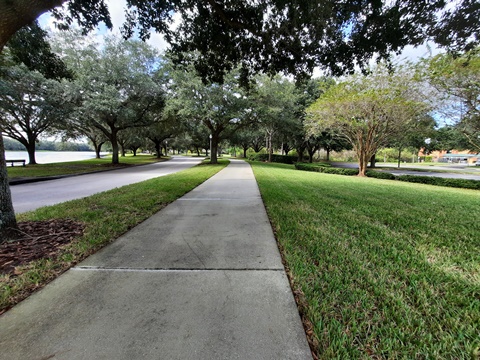
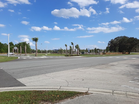
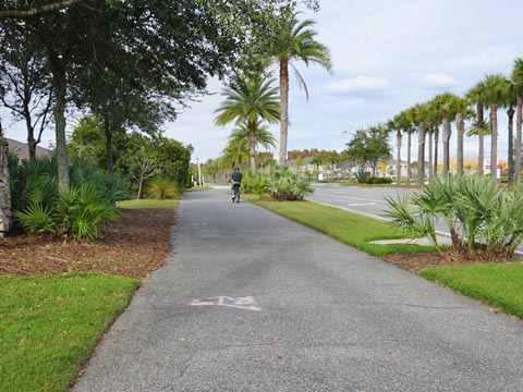
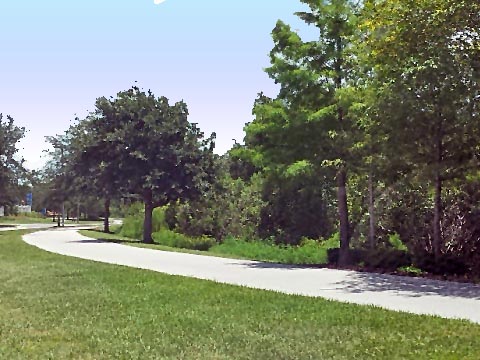
Lake Nona is a 17 square mile planned community in southeast Orange County, built on concepts similar to other Orlando "New Urban" communities (Celebration, Avalon Park, Horizon West, and Baldwin Park). It is being developed as part of the growing Life Sciences Center (dubbed "Medical City"). Lake Nona has over 44 miles of paved and unpaved multi-use trail, so bicycles are a great way to get around. About 40% of the land is designated as parks and green space, making the scenery more pleasant than we first expected. The widest paved biking (12') is on a network of interconnecting trails (blue on map) collectively called the Orlando Southeast Trail. (Map, photos below.)
Location: Orange County
End Points: Varies
Mileage: Varies
Surface: Paved
Trailheads/Parking: Town Center, Heroes Community
Park, YMCA, along the roads.
(See map)
Nearby Points of Interest:
Moss Park, Orlando International Airport, Veterans
Memorial Park (at the VA Medical Center)
Bike Shops / Rentals:
Lake Nona Bikes
at the Wave Hotel
The Bike Place
Lake Nona Move - Beep autonomous shuttle service
Page Summary:
- Biking at Lake Nona
- Lake Nona - South of SR 417
- SR 417 to Town Center
- Medical City
- Laureate Park
- Heroes Community Park
- Nona Adventure Center - Lake Nona - North of SR 417
- Lake Nona Blvd. to Narcoossee Road
- Narcoossee Road to Northlake Pkwy.
- Northlake Pkwy. to McCoy Community Park
- Northlake Pkwy. Past YMCA - Also in the Area - Orlando Southeast Trail
- Moss Park
- East Park/Randal Park - More Nearby - Crosby Island Marsh Preserve, John Wycliffe Blvd., Isle of Pine Preserve
- More Information and Resources
Biking at Lake Nona, FL... Comments and Photos
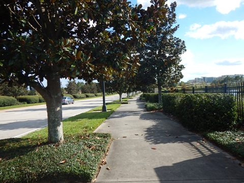
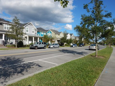
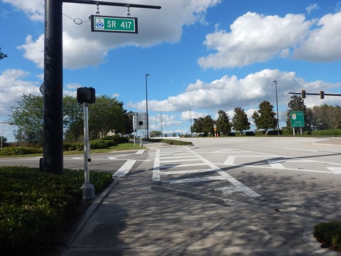
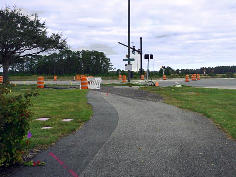
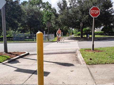
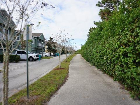
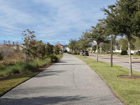
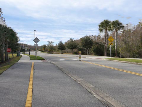
SR 417 divides Lake Nona into distinct north and south sides. The north side is located just east of the Orlando International Airport, so we did hear some air traffic. Multi-use bike trails running parallel to, but comfortably off Lake Nona Blvd. and Narcoossee Road (the eastern boundary of Lake Nona), serve as neighborhood and Town Center connectors. Below we explore biking options in neighborhoods on both sides of SR 417.
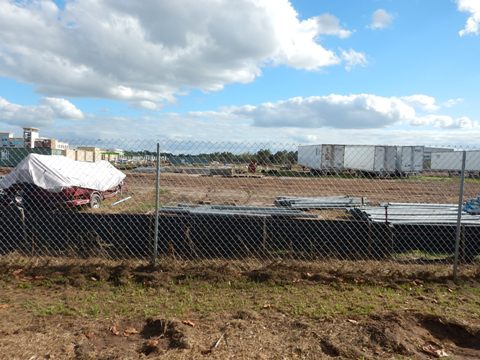
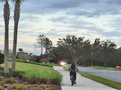
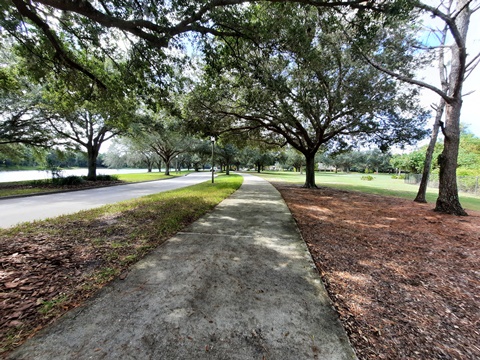
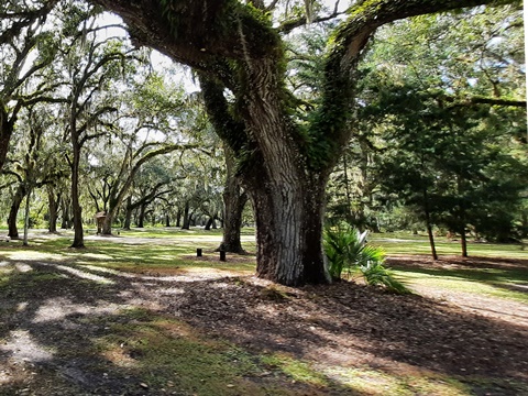
Most biking is parallel to, but off roadway. Some goes through parks and past conservation areas, providing a bit of shade. Few driveways or cross-streets, omnipresent green space, parks, and ponds - all help to make this a mostly pleasant urban ride (cool weather best). With so much happening in recent years, we've found periodic bike rides to be a fun and interesting way to observe this 21st century city grow and take shape. Coming soon: hi-tech Sports and Performance District anchored by a United States Tennis Association (USTA) complex.
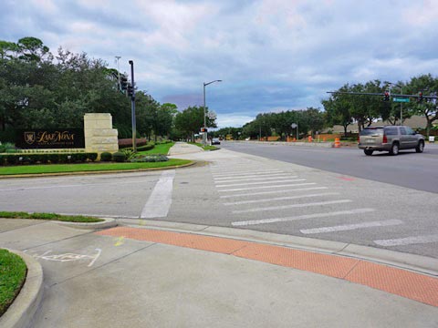
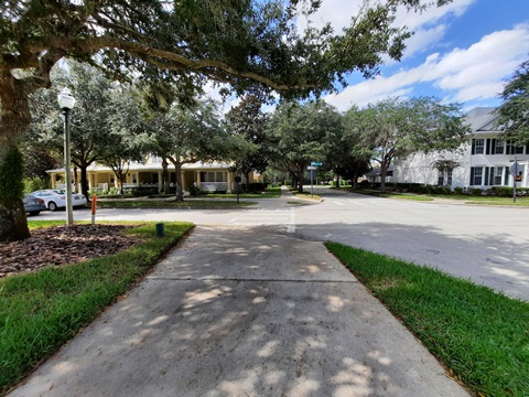
Lake Nona - South of SR 417
SR 417 to Town Center
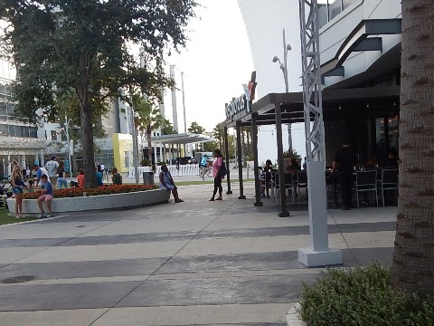
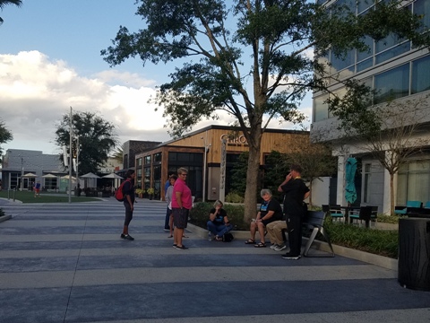
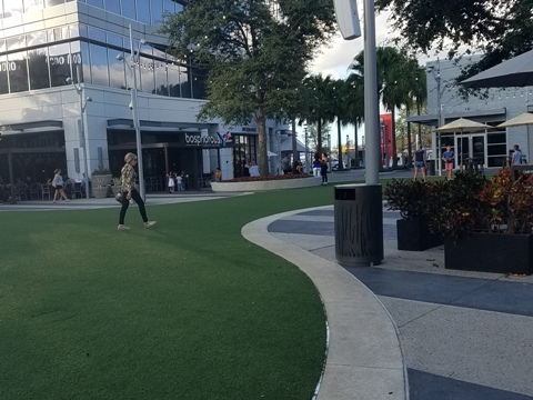
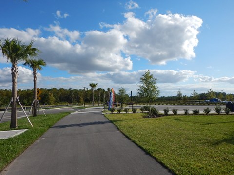
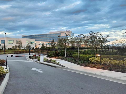
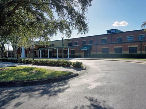
From the SR 417 exit, about 1/2 mile south along Lake Nona at Tavistock Lakes Blvd., is the Lake Nona Town Center. Located across from the Medical City area, the Town Center includes restaurants, shops, hotels, and offices with more under construction. Limited street parking, but several parking garages are in this area.
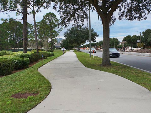
Medical City
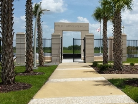
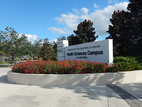
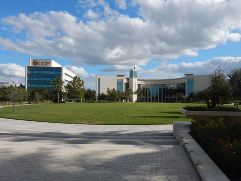
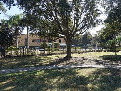
The Lake Nona Medical City is linked by trails to the Town Center and Lake Nona neighborhoods. It includes the University of Central Florida (UCF) College of Medicine and Health Sciences, UCF Lake Nona Cancer Center, the Orlando VA Medical Center, Nemours Children's Hospital, a University of Florida Research and Academic Center, and more to come. Central Florida Veterans Memorial Park is located next to the VA Medical Center.
Laureate Park
Laureate Park is a neighborhood within Lake Nona, with residential areas, school, parks, and recreational facilities. The Laureate Park Village Center includes some restaurants and retail.
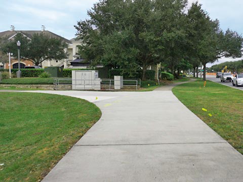
Heroes Community Park
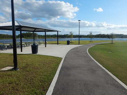
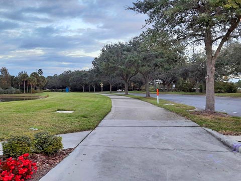
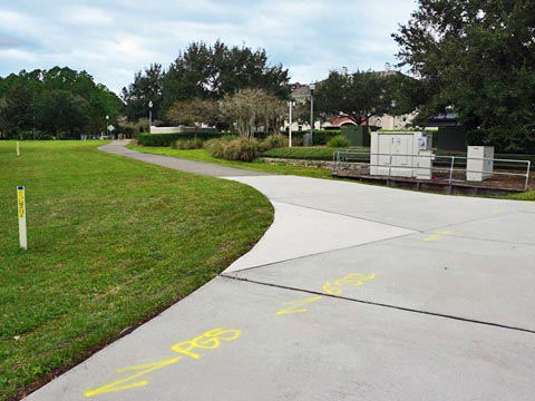
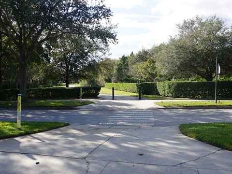
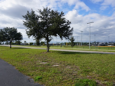
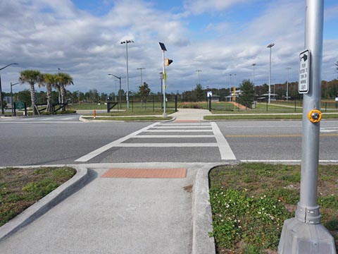
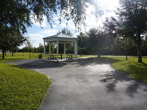
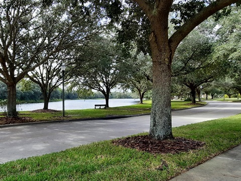
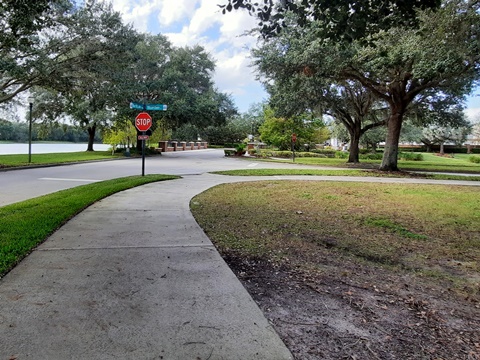
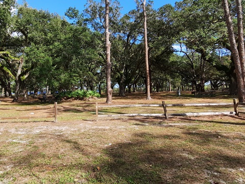
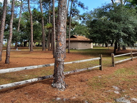
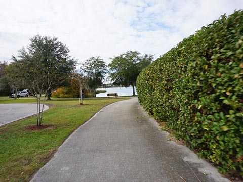
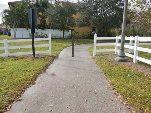
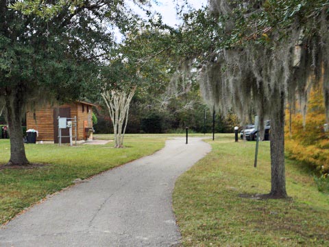
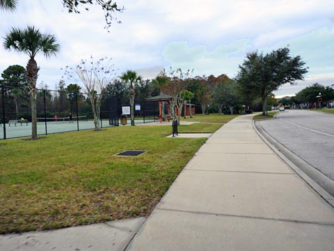
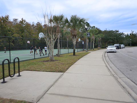
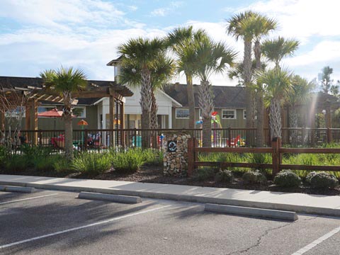
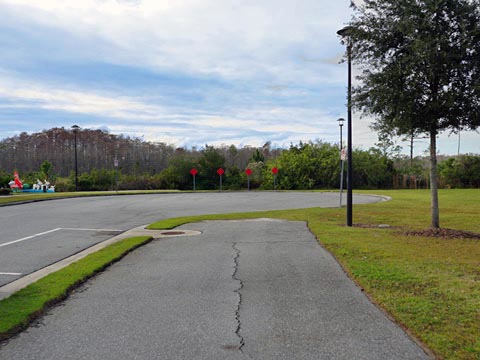
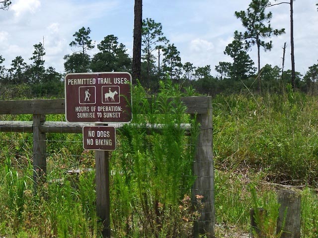
Heroes Community Park is an Orlando city park adjoining the Laureate Park neighborhood, across from the VA Medical Center. The park is a designated trailhead for the Orlando Southeast Trail, with restrooms, picnic pavilions, and playing fields.
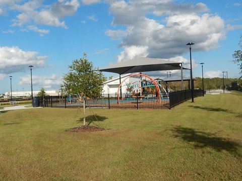
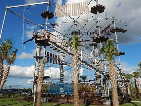
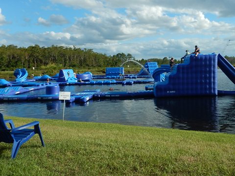
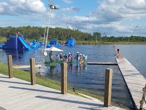
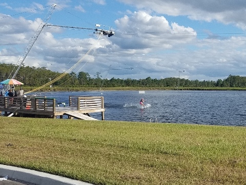
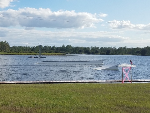
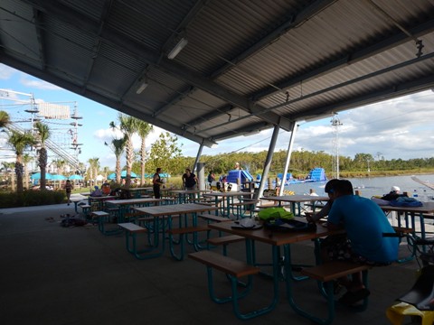
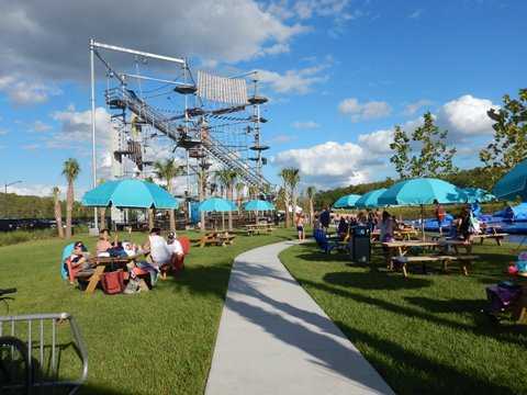
Nona Adventure Center
Adjacent to Heroes Community Park, we were impressed by the Adventure Center, a water park open to the public, with floating aqua park, cable park for wakeboarding, climbing tower and bistro. A popular community destination - we saw several birthday parties in progress.
Lake Nona - North of SR 417
Lake Nona Blvd. to Narcoossee Road
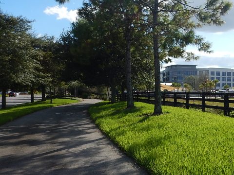
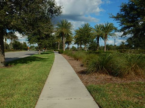
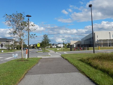
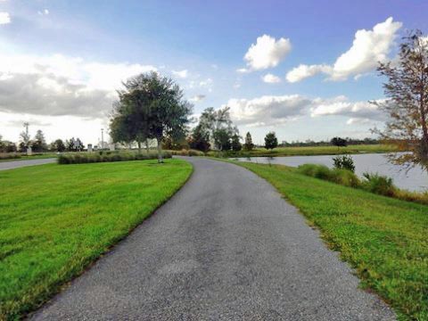
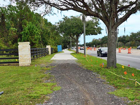
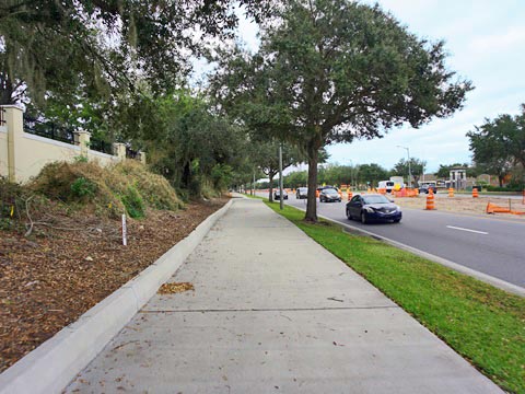
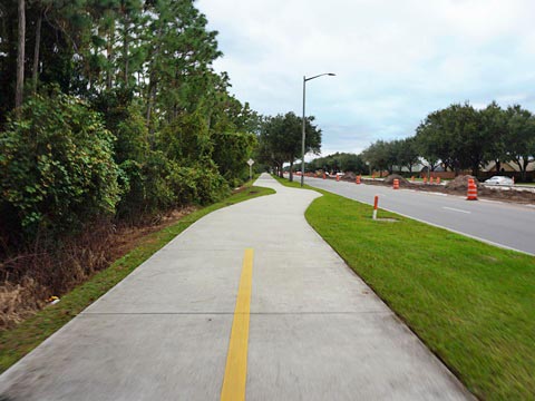
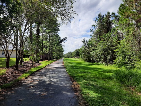
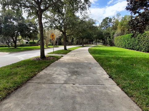
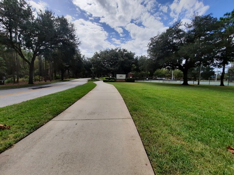
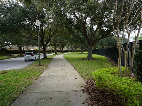
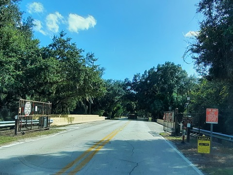
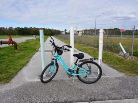
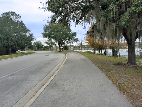
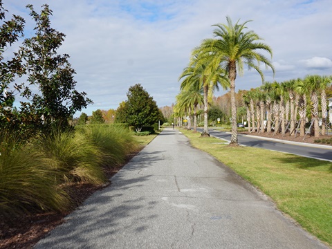
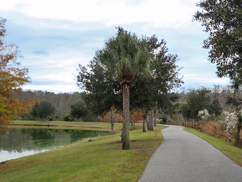
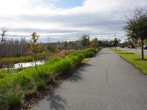
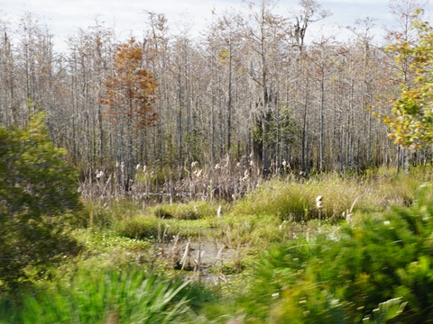
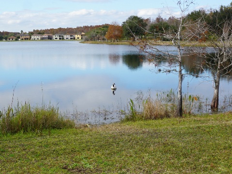
Following Lake Nona Blvd., the trail goes over SR 417 then runs north for about 3.5 miles to Narcoossee Road. The pathway is an easy ride with a wide buffer. Much of it runs along conservation areas, with just a few road and business crossings. Here it passes the USTA National Campus, and the impressive KPMG Lakehouse (a training and development center for KPMG partners and professionals).
Narcoossee Road to Northlake Pkwy.
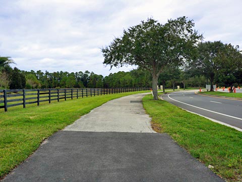
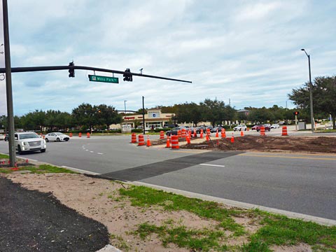
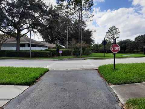
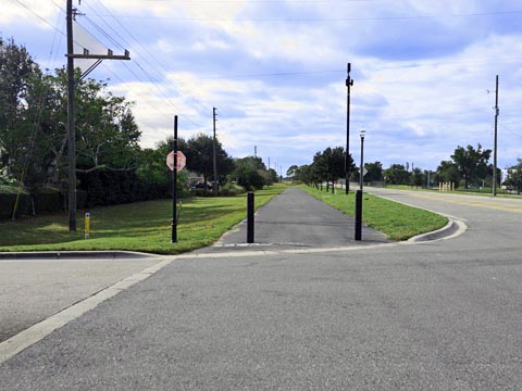
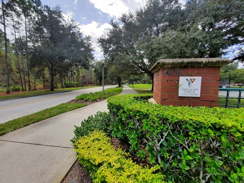
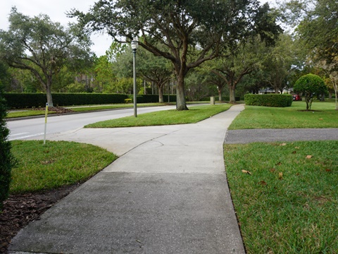
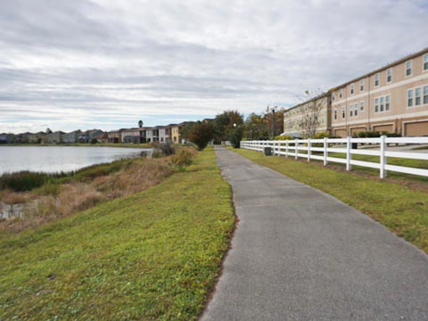
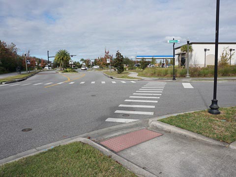
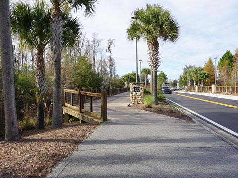
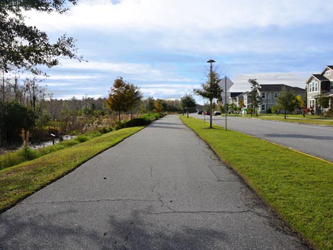
From Lake Nona Blvd., the trail runs about 1.5 miles alongside Narcoossee Road (note: the trail is being enhanced as part of a Narcoossee Road expansion project, construction underway at this writing). The trail runs past conservation and residential areas with just one road crossing at Lake Nona Country Club, the wide buffer creates space from the road. About 1/2 mile past the entrance to the country club, the trail then splits off from the roadway and runs along an easement to Fenrose Terrace and Northlake Pkwy. About 1/10 mile west along Northlake Pkwy., the trail splits: (1) right to continue on the trail to McCoy Community Park, or (2) straight along Northlake Pkwy. to the YMCA (parking).
Along Narcoossee Road
Northlake Pkwy. to McCoy Community Park
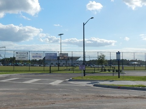
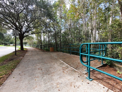
Just before reaching the YMCA, the trail branches - go right to stay on the trail, looping behind the Y and continuing to McCoy Community Park (1 mile), running between and providing connections to the Northlake and Waters Edge Communities. The trail here is off the road all the way until joining Dowden Road just before McCoy Community Park (parking, restrooms, playground, playing fields). Past the park, the trail ends at a picnic pavilion just short of Orlando International Airport runways. Dowden Road dead-ends at the airport - watch the planes come and go!
Northlake Pkwy. Past YMCA
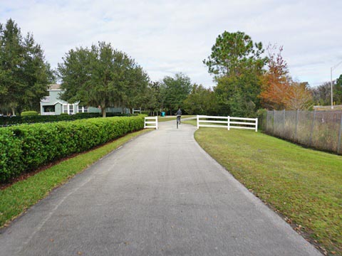
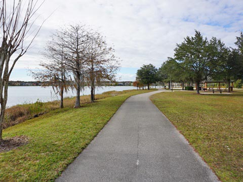
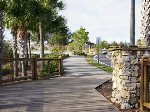
A pathway along Northlake Pkwy. leads to the YMCA (and Northlake Park Community School) and parking. Passing the Y Northlake Pkwy. is a pleasant ride with a lake across the road providing scenic view, benches and shade. At Bluestream St. Northlake enters the Waters Edge community, the path continues right onto Bluestream St. and circles back to meet the trail (a total of 1/2 mile). (Bluestream continues straight into the Northlake community).
Also in the Area - Orlando Southeast Trail
More About Orlando Southeast Trail:
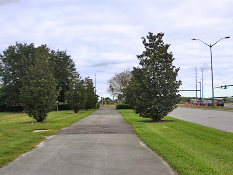
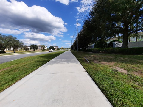
Orlando Southeast Trail is a series of 12-foot multi-use paths, mostly roadside and not all connected (yet), winding around Orlando east of Orlando International Airport, and centered around Lake Nona. The main trailhead is at Heroes Community Park, across from the Veterans Affairs Hospital. Neighborhoods it connects include: Lake Nona Central, Laureate Park, Northlake Park, LaVina, East Park and Randal Park. This section looks at the Orlando Southeast Trail east of Narcoossee Road along Moss Park Road, which serves as a connector to residential communities and parks.
Narcoossee Road to Moss Park
East from Narcoossee Road, the Orlando Southeast Trail includes a 3-mile section parallel to Moss Park Road leading toward Moss Park. Along the way, it passes Bomberos Field Park (parking, restrooms, playing fields), then continues another half mile before ending, with one mile to Moss Park remaining for completion. Moss Park, 1,551 acres between Lake Mary Jane and Lake Hart, has parking, restrooms, boat launch, fishing, camping, swimming, playgrounds, picnicking, and hiking trails.
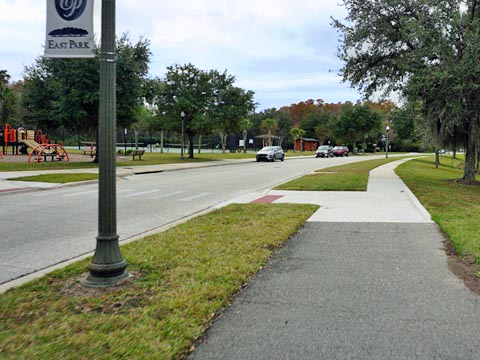
East Park / Randal Park
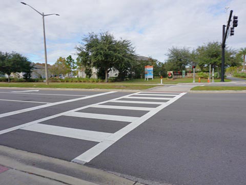
Off Moss Park Road, about 3/4 mile from Narcoossee Road and just before the SR 417 interchange, another leg runs north - cross Moss Park Road at the crosswalk. This runs about 3 miles, through East Park and Randal Park, planned residential communities. Although roadside, the trail runs mostly along a conservation corridor - as throughout Lake Nona the green space makes for a pleasant ride. Dowden Road is the divider between East Park and Randal Park - it's a busy road crossing, use the crossing signal. The negatives: tree roots have created rough spots in sections.
Moss Park Road to Dowden Road - East Park
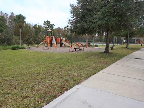
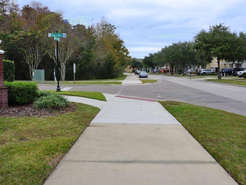
From Moss Park Road, the trail starts paralleling SR 417, then becomes buffered by vegetation as it enters the East Park community. After running along an alley behind residences, it arrives at East Lake Park - a City of Orlando park, it's a pleasant stop with picnic tables, restrooms, playground, plus tennis, volleyball and basketball courts. There's a small parking area here, or park along the road. A trail spur on the south side of the lake leads to recreational facilities, while the trail continues on the north side through the picnic area. There's a gap where the trail meets Lake District Lane... ride on the sidewalk, then cross Green Ivy Lane and Lake District Lane to Dowden Road.
Moss Park Road to Dowden Road

Dowden Road to DeHaven Road - Randal Park
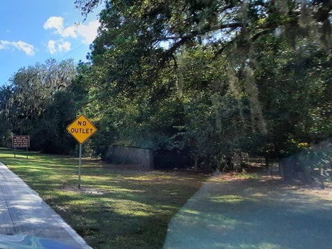
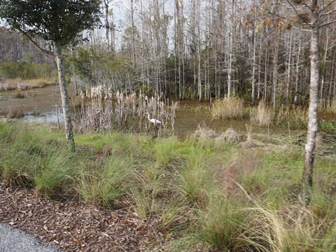
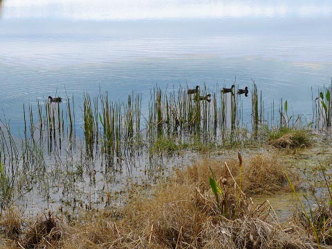
North from Dowden Road, the trail runs between Randal Park Blvd. and a conservation area. The trail passes Sun Blaze Elementary School, then goes over a boardwalk past a pond to the Randal Park Community Center. A loop around the pond adjoins the conservation area. The center and pool are resident-only (or by fee to non-residents), a parking lot is roadside next to the center. From here, the trail continues to DeHaven Street, where it turns west and ends in a cul-de-sac. In the conservation areas, we saw some wildlife (birds).
Dowden Road to Trail End

More Nearby
From Moss Park Road is access to several additional areas.
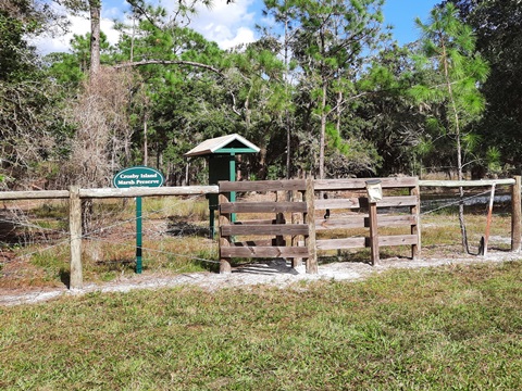
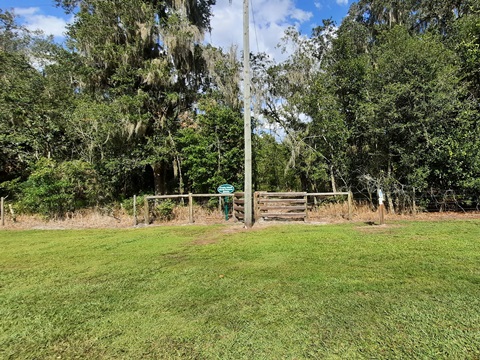
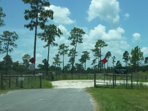
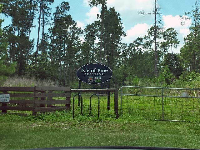
Crosby Island Marsh Preserve
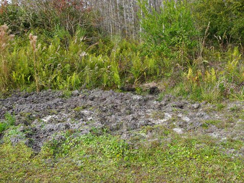
Along Moss Park Road and Lake Mary Jane Road are four entrances to 277 acre Crosby Island Marsh Preserve which includes a section of the Florida National Scenic Trail.
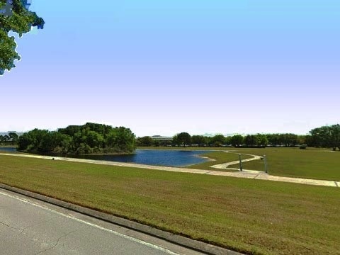
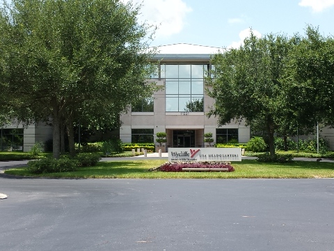
John Wycliffe Blvd.
Along John Wycliffe Blvd., a short trail loops around a small lake and past the USA headquarters of Wycliffe Bible Translators, then connects to some residential communities.
More Information and Resources
Nearby Biking:
Orange County Trails
- see Overview Map for more nearby
Visit other Orlando Planned
Communities with pleasant biking
Related Resources:
See all bike trails in Orange County

Copyright ©BikeOrlando.net. All Rights Reserved.